The Landsat satellite record stretches from 1972 to the present. This gallery includes all Landsat images published on the Earth Observatory, Visible Earth, and Landsat Science web sites from all seven Landsat satellites (Landsats 1-8, Landsat 6 failed to achieve orbit). All of the images are in the public domain and may be used with attribution. The correct attribution for imagery obtained from this site is:
“Landsat imagery courtesy of NASA Goddard Space Flight Center and U.S. Geological Survey” or “USGS/NASA Landsat”
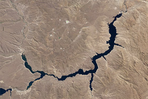
Piedra del Águila Dam Reshapes the Limay River Read more
A Bit Less Excelsior Read more
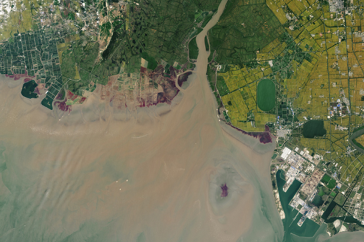
A Changing Estuary Lined With Red Read more
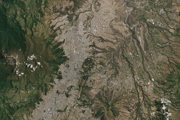
Three Decades of Urban Expansion in Quito Read more
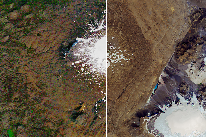
Okjökull Remembered Read more
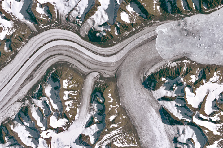
Taking a Bite Out of Pi Read more
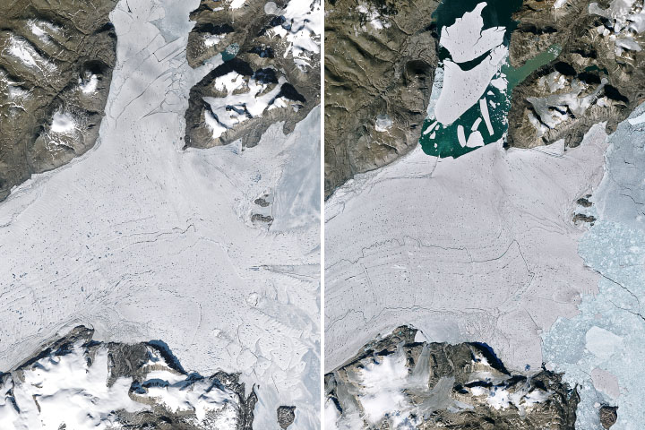
Inlet’s Iceberg Maker Is Nearly Gone Read more

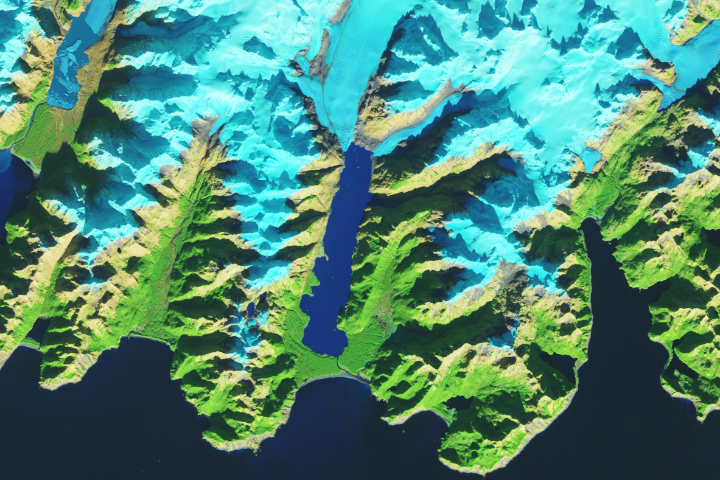
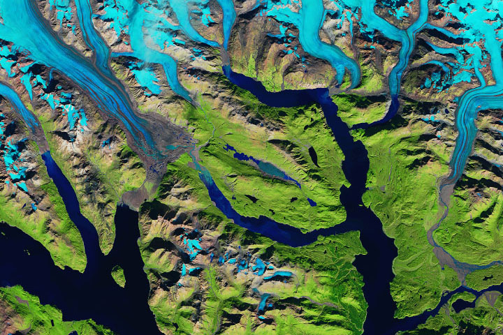
Where Ice Still Flows into Glacier Bay Read more
Spalte Splits Read more