The Landsat satellite record stretches from 1972 to the present. This gallery includes all Landsat images published on the Earth Observatory, Visible Earth, and Landsat Science web sites from all seven Landsat satellites (Landsats 1-8, Landsat 6 failed to achieve orbit). All of the images are in the public domain and may be used with attribution. The correct attribution for imagery obtained from this site is:
“Landsat imagery courtesy of NASA Goddard Space Flight Center and U.S. Geological Survey” or “USGS/NASA Landsat”
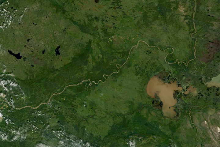
Where the Wood Bison Roam Read more
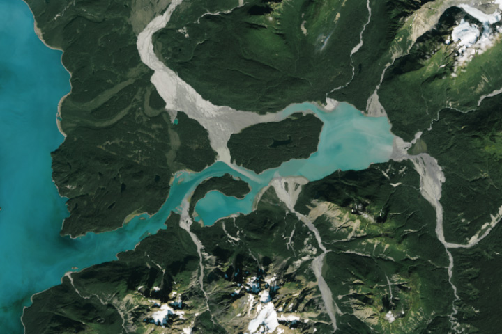
A Geological Wonderland in Alaska Read more
Clear Lake Clouded by Algae Read more
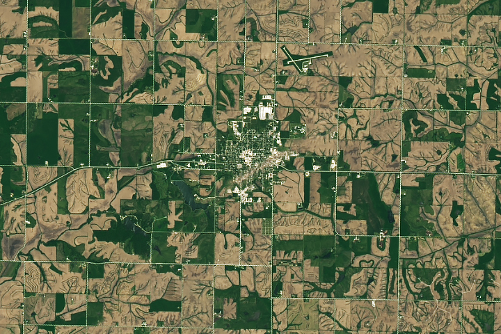
Tornado Damage in Greenfield Read more
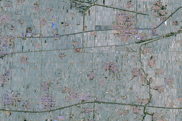
A Greenhouse Boom in China Read more
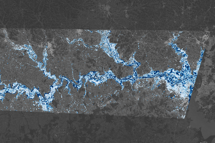
Southern Brazil Submerged Read more
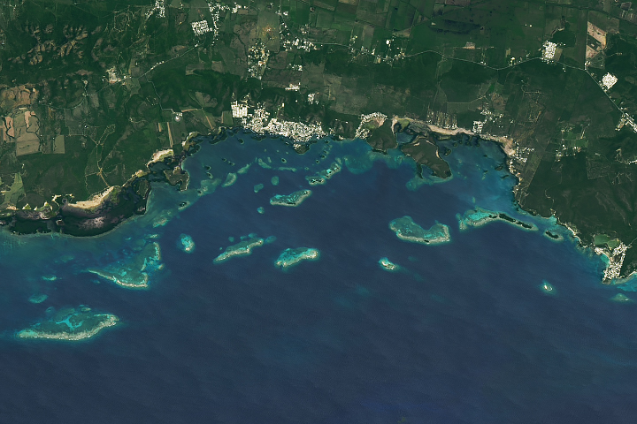
Reefs of La Parguera Read more
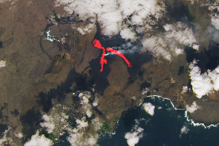
Iceland Eruption Goes Another Round Read more
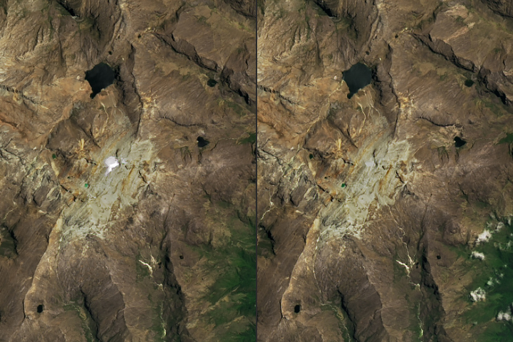
Humboldt Glacier’s Demise Read more