The Landsat satellite record stretches from 1972 to the present. This gallery includes all Landsat images published on the Earth Observatory, Visible Earth, and Landsat Science web sites from all seven Landsat satellites (Landsats 1-8, Landsat 6 failed to achieve orbit). All of the images are in the public domain and may be used with attribution. The correct attribution for imagery obtained from this site is:
“Landsat imagery courtesy of NASA Goddard Space Flight Center and U.S. Geological Survey” or “USGS/NASA Landsat”
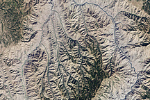
Hells Canyon National Recreation Area Read more
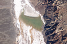
Lake Badwater, Death Valley Read more
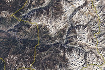
Kings Canyon National Park Read more
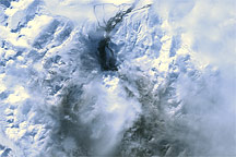
Mt. Redoubt Volcano, Alaska Read more
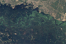
Deadly Flooding in Namibia Read more
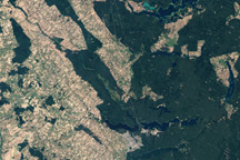
Rospuda Valley, Poland Read more
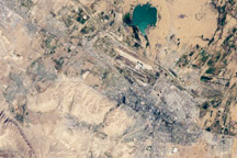
Ashgabat, Turkmenistan Read more
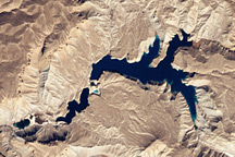
Band-e-Amir National Park, Afghanistan Read more
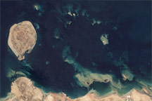
Coral Reefs in the Persian Gulf Read more