The Landsat satellite record stretches from 1972 to the present. This gallery includes all Landsat images published on the Earth Observatory, Visible Earth, and Landsat Science web sites from all seven Landsat satellites (Landsats 1-8, Landsat 6 failed to achieve orbit). All of the images are in the public domain and may be used with attribution. The correct attribution for imagery obtained from this site is:
“Landsat imagery courtesy of NASA Goddard Space Flight Center and U.S. Geological Survey” or “USGS/NASA Landsat”
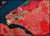
IJsselmeer, Netherlands Read more
Soviet Union in Afghanistan Read more
Eruption of Mount St. Helens Read more
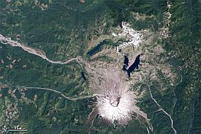
Mount St. Helens from Space, 1979-2011 Read more
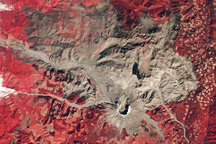
30th Anniversary of the Eruption of Mt. St. Helens Read more
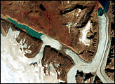
Penny Ice Cap in 1979 and 2000 Read more
One Love Peace Concert in Jamaica Read more

Landsat in Memory of the World Register Read more
Blizzard of 1977 Blankets Southern Ontario and Upstate New York Read more