The Landsat satellite record stretches from 1972 to the present. This gallery includes all Landsat images published on the Earth Observatory, Visible Earth, and Landsat Science web sites from all seven Landsat satellites (Landsats 1-8, Landsat 6 failed to achieve orbit). All of the images are in the public domain and may be used with attribution. The correct attribution for imagery obtained from this site is:
“Landsat imagery courtesy of NASA Goddard Space Flight Center and U.S. Geological Survey” or “USGS/NASA Landsat”

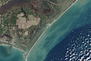
Sediments Betray Hidden Shipwrecks Read more
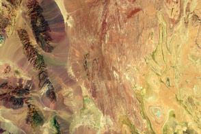
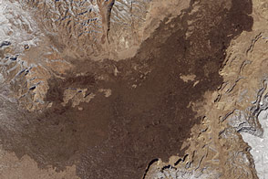
Arid Iran in False Color Read more
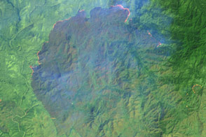
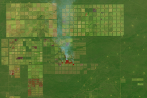
Fire and Smoke in a Thai Wildlife Sanctuary Read more
On the Lookout Read more
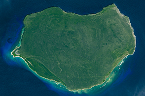
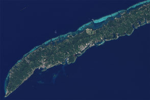
Mona Island Read more
Argentina’s Changing Chaco Forest Read more
How Tourism Changed the Face of Roatán Read more
El Malpais National Monument Read more
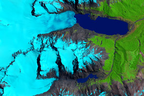
Retreat of the Sierra de Sangra Glaciers Read more