The Landsat satellite record stretches from 1972 to the present. This gallery includes all Landsat images published on the Earth Observatory, Visible Earth, and Landsat Science web sites from all seven Landsat satellites (Landsats 1-8, Landsat 6 failed to achieve orbit). All of the images are in the public domain and may be used with attribution. The correct attribution for imagery obtained from this site is:
“Landsat imagery courtesy of NASA Goddard Space Flight Center and U.S. Geological Survey” or “USGS/NASA Landsat”
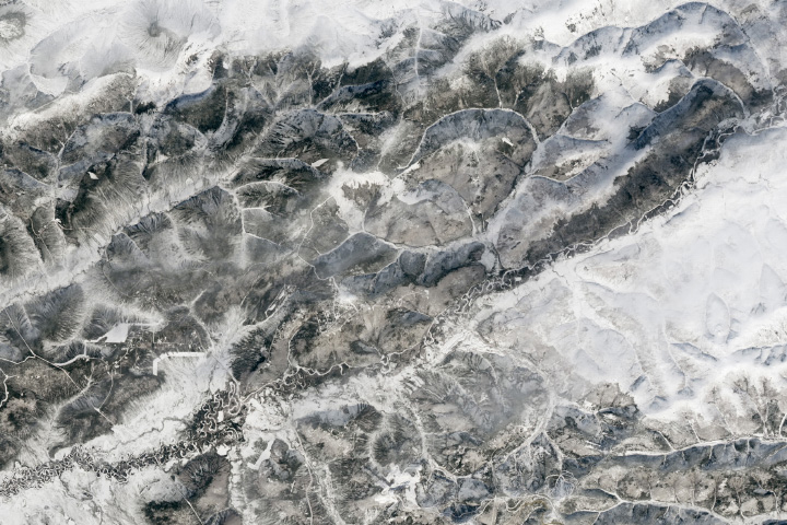
A Boreal Forest Awakens Read more

Bloomin’ Atlantic Read more
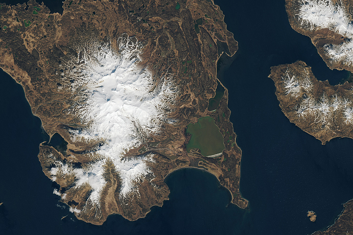
Frosty the Volcano Read more
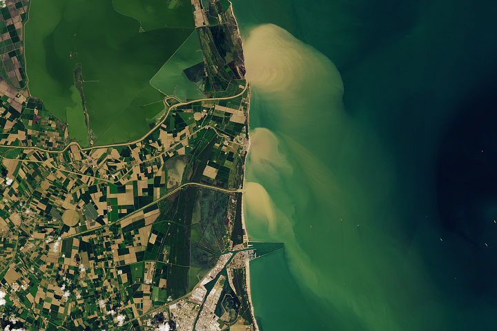
A Deluge in Italy Read more
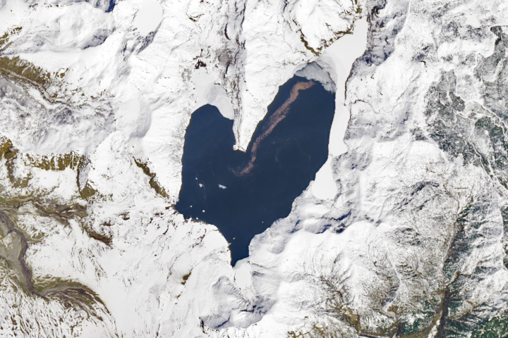
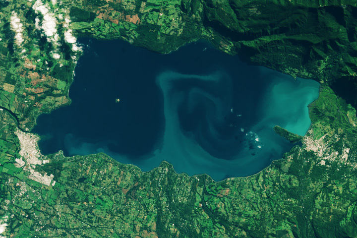
The Lovely Shape of Spirit Lake Read more
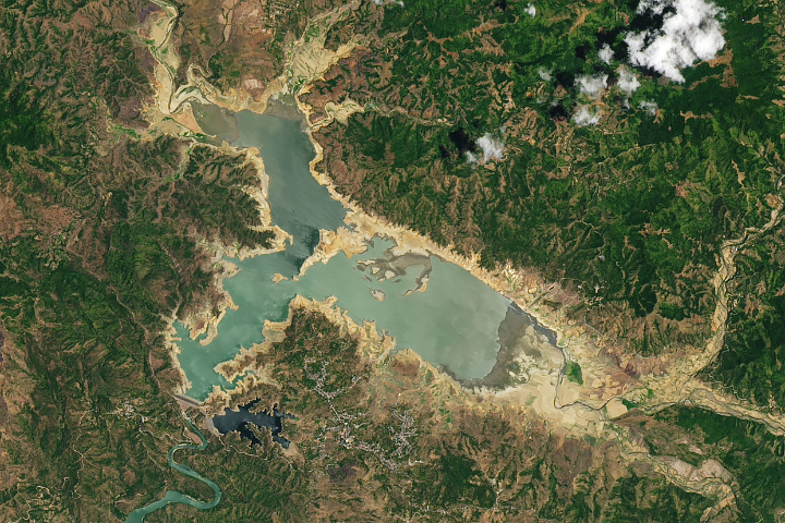
Water Levels Plunge in Philippine Reservoir Read more
Algae in the Andes Read more
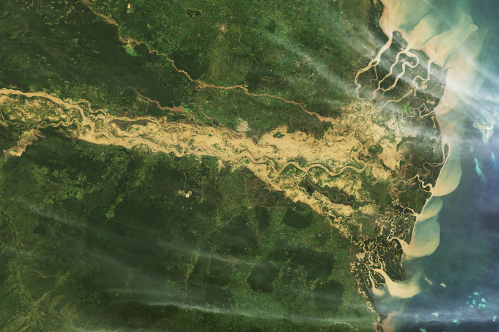
Destructive Floods Afflict Tanzania Read more
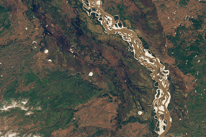
A Tumultuous Spring Breakup Read more