The Landsat satellite record stretches from 1972 to the present. This gallery includes all Landsat images published on the Earth Observatory, Visible Earth, and Landsat Science web sites from all seven Landsat satellites (Landsats 1-8, Landsat 6 failed to achieve orbit). All of the images are in the public domain and may be used with attribution. The correct attribution for imagery obtained from this site is:
“Landsat imagery courtesy of NASA Goddard Space Flight Center and U.S. Geological Survey” or “USGS/NASA Landsat”
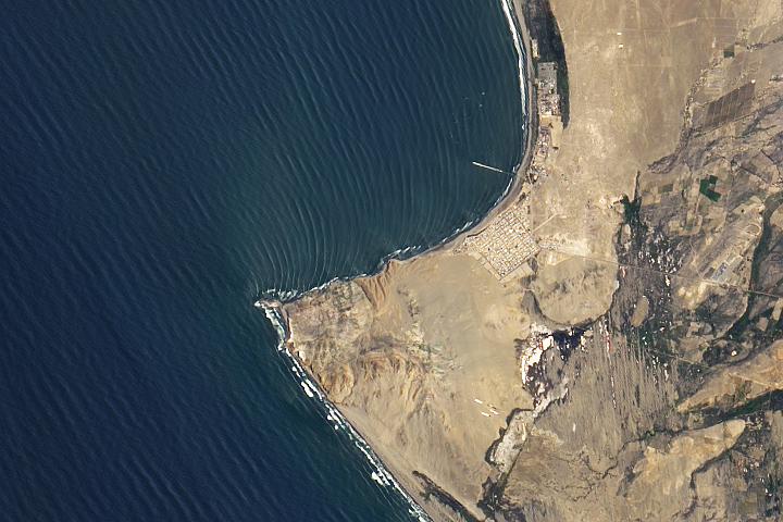
World’s Longest Wave? Read more
A Delta Oasis in Southeastern Kazakhstan Read more
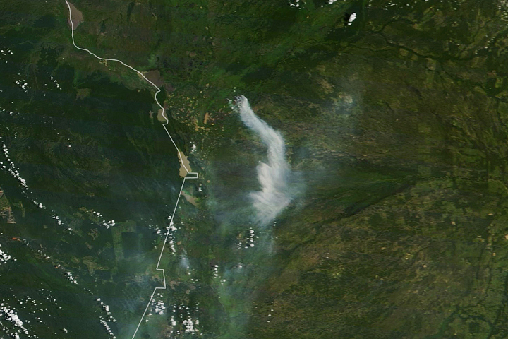
Fire in the Pantanal Read more
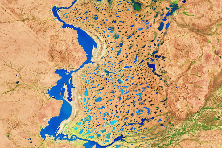
Swollen Rivers in Channel Country Read more

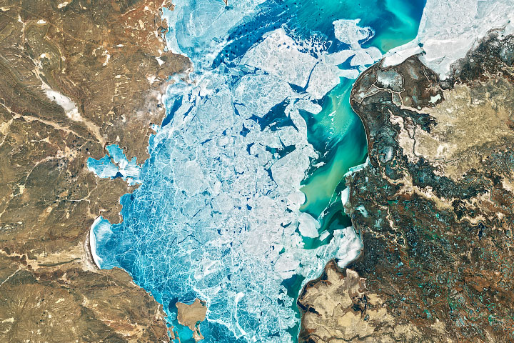
Drift Ice in the Sea of Okhotsk Read more
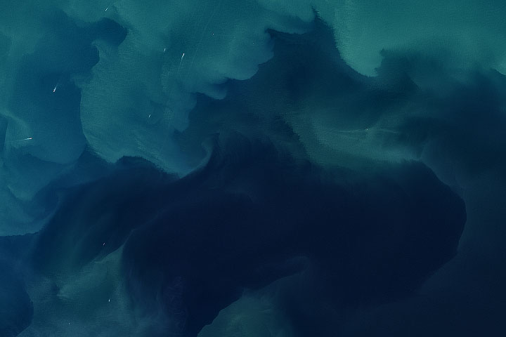
A Sea of Color and Wind Read more
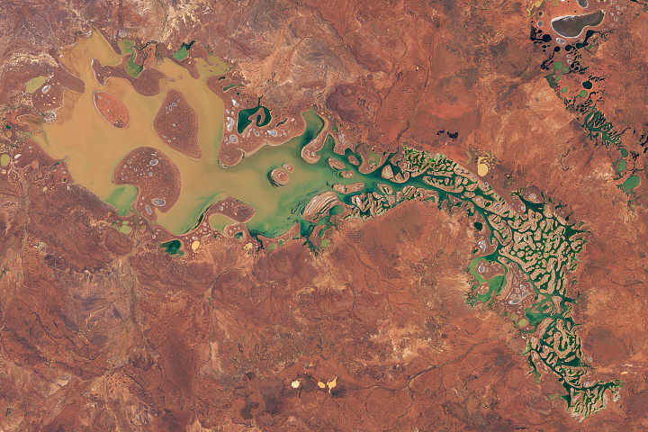
Filling up Lake Carnegie Read more
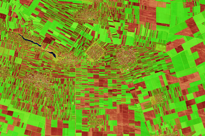
Romania’s Patchwork of Farm Fields Read more
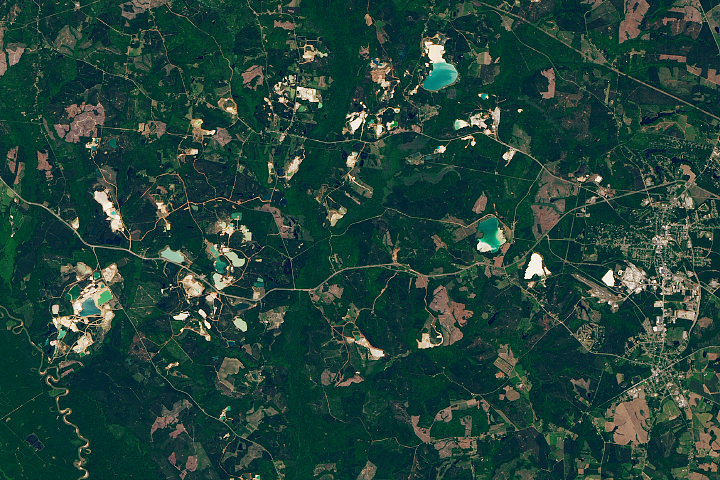
Kaolin Capital of the World Read more