The Landsat satellite record stretches from 1972 to the present. This gallery includes all Landsat images published on the Earth Observatory, Visible Earth, and Landsat Science web sites from all seven Landsat satellites (Landsats 1-8, Landsat 6 failed to achieve orbit). All of the images are in the public domain and may be used with attribution. The correct attribution for imagery obtained from this site is:
“Landsat imagery courtesy of NASA Goddard Space Flight Center and U.S. Geological Survey” or “USGS/NASA Landsat”
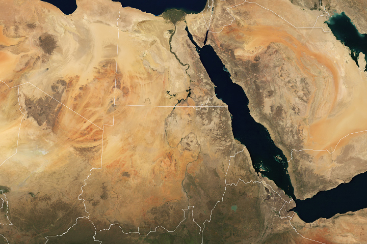
A Grand New Dam on the Nile Read more
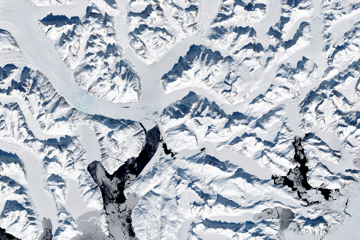
Scientists Discover a Polar Bear Subpopulation Read more
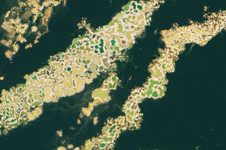
Finding Gold Mining Hotspots in Peru Read more
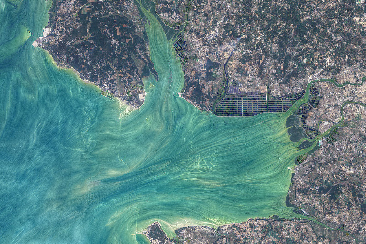
Patterns Around Leizhou Peninsula Read more
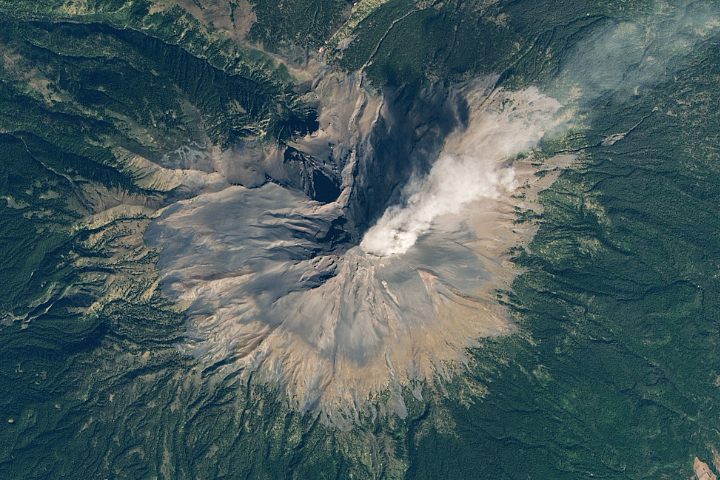
An Outburst from Popocatépetl Read more

Phytoplankton Factory in the Argentine Sea Read more
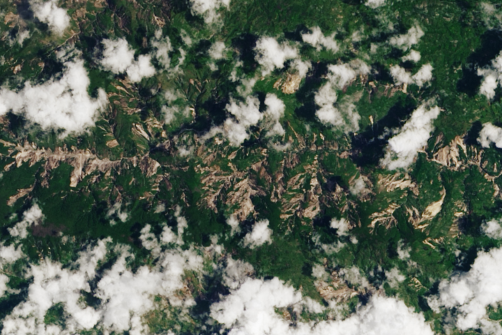
Earthquake in Haiti Triggers Landslides Read more
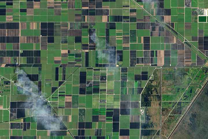
Smoking Sugar Fields in South Florida Read more
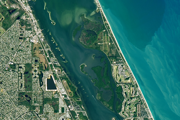
America’s First National Wildlife Refuge Read more