The Landsat satellite record stretches from 1972 to the present. This gallery includes all Landsat images published on the Earth Observatory, Visible Earth, and Landsat Science web sites from all seven Landsat satellites (Landsats 1-8, Landsat 6 failed to achieve orbit). All of the images are in the public domain and may be used with attribution. The correct attribution for imagery obtained from this site is:
“Landsat imagery courtesy of NASA Goddard Space Flight Center and U.S. Geological Survey” or “USGS/NASA Landsat”
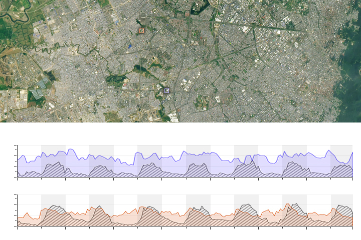
Filling an Air Pollution Data Gap Read more
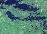
Voyageurs National Park Read more
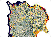
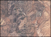
Spotted Owl Habitat Read more

Coral Bleaching in French Polynesia Read more
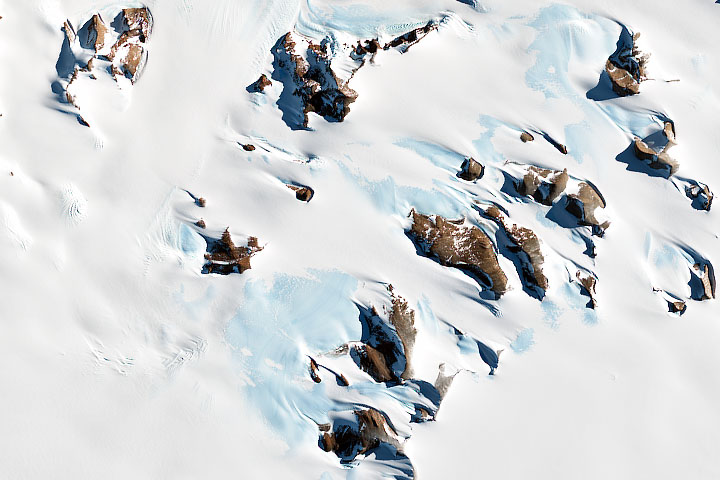
Finding Meteorite Hotspots in Antarctica Read more
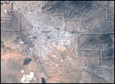
Saguaro National Park Read more
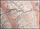
Capitol Reef National Park, Utah Read more
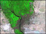
Cairo, Egypt Read more
Pinnacles National Monument Read more