The Landsat satellite record stretches from 1972 to the present. This gallery includes all Landsat images published on the Earth Observatory, Visible Earth, and Landsat Science web sites from all seven Landsat satellites (Landsats 1-8, Landsat 6 failed to achieve orbit). All of the images are in the public domain and may be used with attribution. The correct attribution for imagery obtained from this site is:
“Landsat imagery courtesy of NASA Goddard Space Flight Center and U.S. Geological Survey” or “USGS/NASA Landsat”
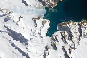
Glaciers Ebb in South Georgia Read more
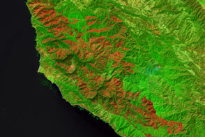
Soberanes Still Burns Read more

From Russia with Questions Read more
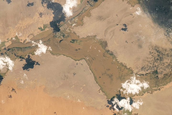
Record Flooding in Sudan Read more
Hurricane Matthew’s Aftermath in Haiti Read more
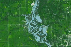
Unseasonal Flooding in Iowa Read more
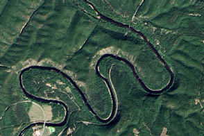
Paw Paw Bends Read more
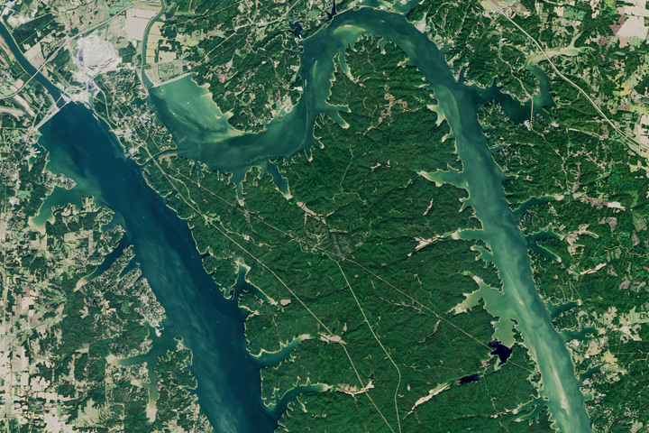
The Land Between the Lakes Read more
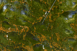
A Blaze of Yellow Read more