The Landsat satellite record stretches from 1972 to the present. This gallery includes all Landsat images published on the Earth Observatory, Visible Earth, and Landsat Science web sites from all seven Landsat satellites (Landsats 1-8, Landsat 6 failed to achieve orbit). All of the images are in the public domain and may be used with attribution. The correct attribution for imagery obtained from this site is:
“Landsat imagery courtesy of NASA Goddard Space Flight Center and U.S. Geological Survey” or “USGS/NASA Landsat”
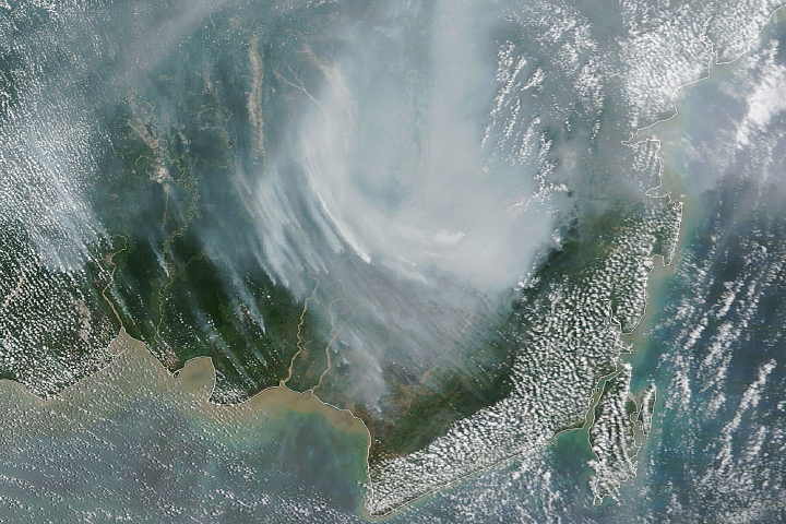
Indonesian Fires Return in 2023 Read more
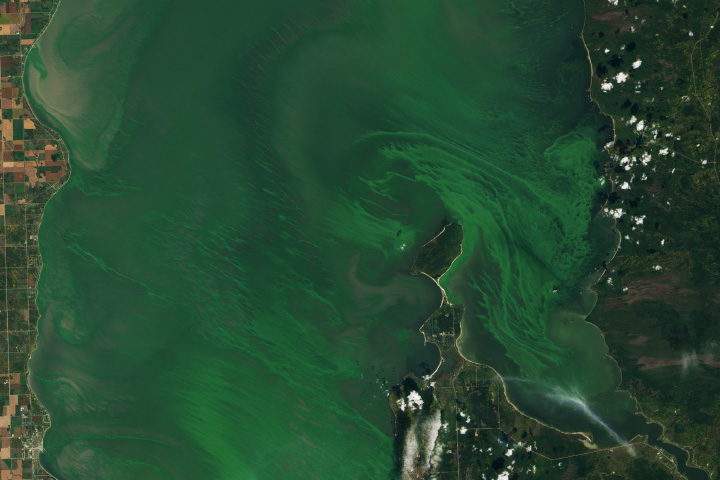
Emerald Swirls of Algae in Lake Winnipeg Read more
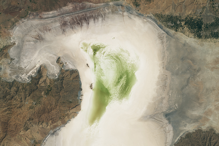
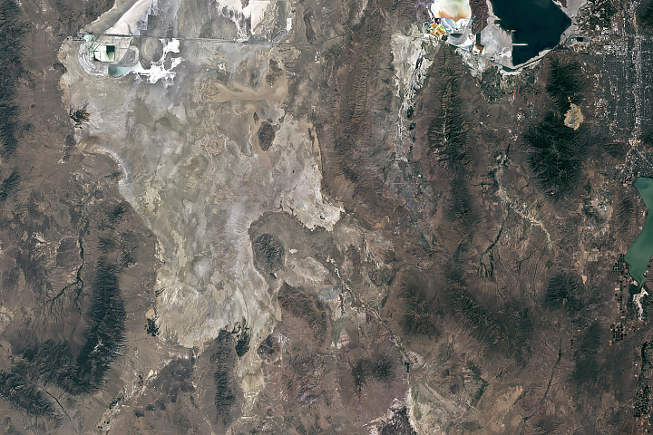
Lake Urmia Shrivels Again Read more
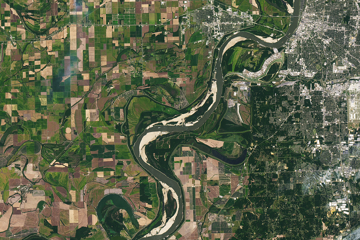
The Mississippi is Mighty Parched Read more
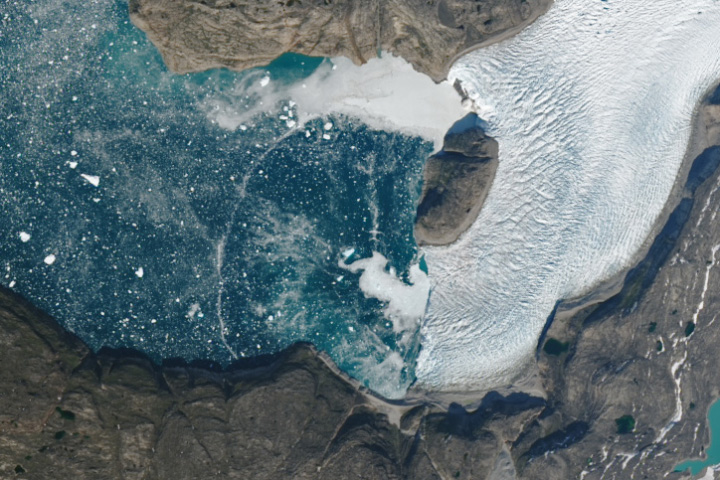
Ephemeral Arc Spans Greenland Fjord Read more
OSIRIS-REx Prepares to Return Asteroid Sample Read more
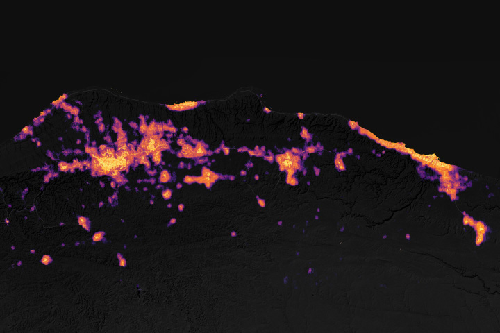
Tracking Nightlights in Libya Read more
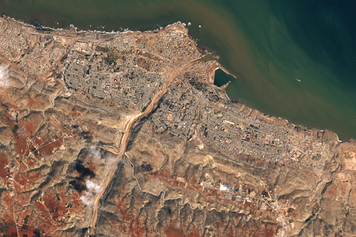
Storm Aftermath in Derna, Libya Read more
Devastation in Morocco Read more