The Landsat satellite record stretches from 1972 to the present. This gallery includes all Landsat images published on the Earth Observatory, Visible Earth, and Landsat Science web sites from all seven Landsat satellites (Landsats 1-8, Landsat 6 failed to achieve orbit). All of the images are in the public domain and may be used with attribution. The correct attribution for imagery obtained from this site is:
“Landsat imagery courtesy of NASA Goddard Space Flight Center and U.S. Geological Survey” or “USGS/NASA Landsat”
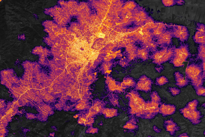
Brighter Nights in Antakya Read more
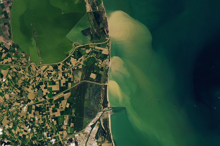
A Deluge in Italy Read more
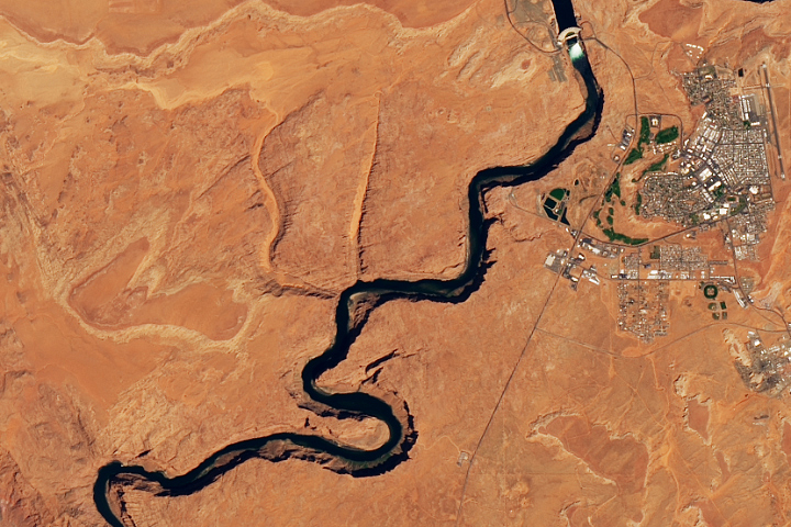
High Flow at Glen Canyon Dam Read more
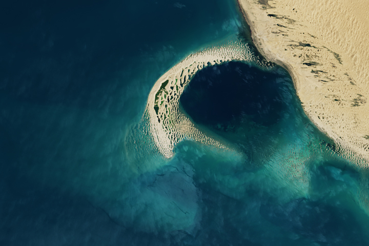
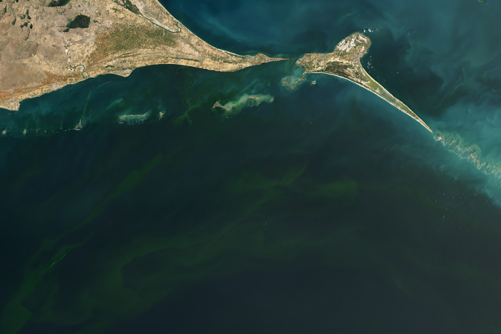
Shifting Sand Spits Read more
Deadly Blooms in the Gulf of Mannar Read more
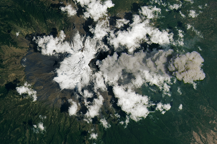
Popocatépetl Volcano Keeps on Puffing Read more
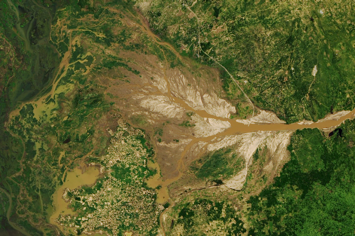
Freddy Brings Lean Times to Malawi Read more
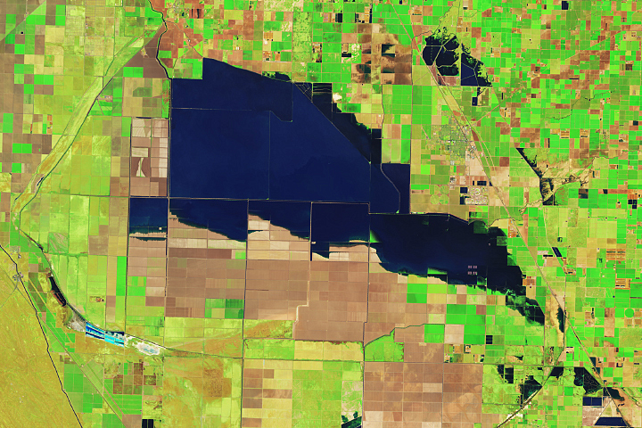
Tulare Lake Grows Read more
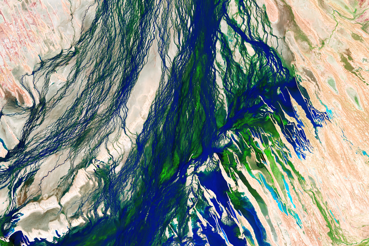
Seasonal Flooding of the Diamantina River Read more