The Landsat satellite record stretches from 1972 to the present. This gallery includes all Landsat images published on the Earth Observatory, Visible Earth, and Landsat Science web sites from all seven Landsat satellites (Landsats 1-8, Landsat 6 failed to achieve orbit). All of the images are in the public domain and may be used with attribution. The correct attribution for imagery obtained from this site is:
“Landsat imagery courtesy of NASA Goddard Space Flight Center and U.S. Geological Survey” or “USGS/NASA Landsat”
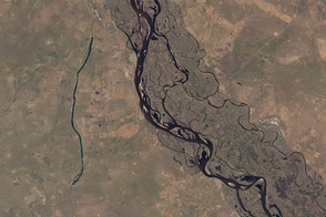
Come Fly with Me Read more
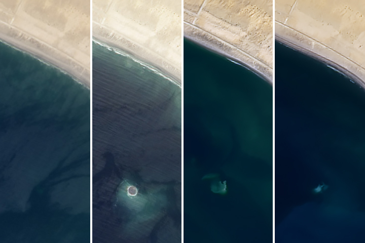
The Sea Takes Back a Baby Island Read more
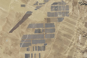
Longyangxia Dam Solar Park Read more
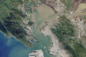
Bay Blues Read more

A Lava Lamp Look at the Atlantic Read more
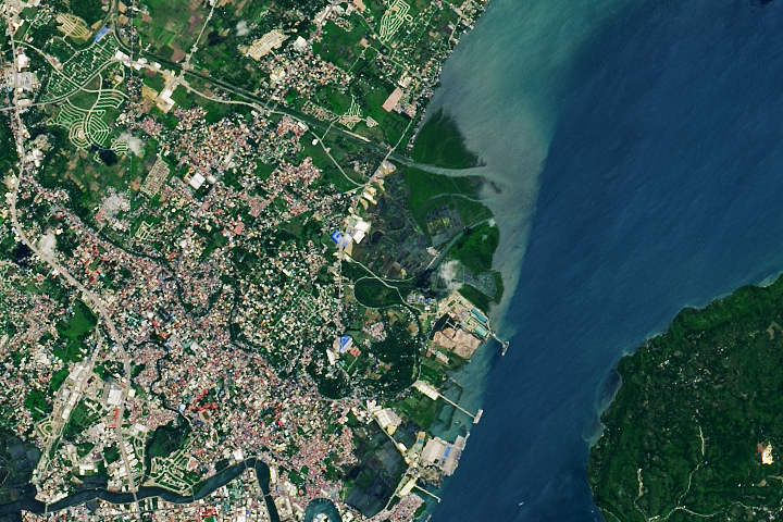
Mangroves Regrow in Iloilo City Read more
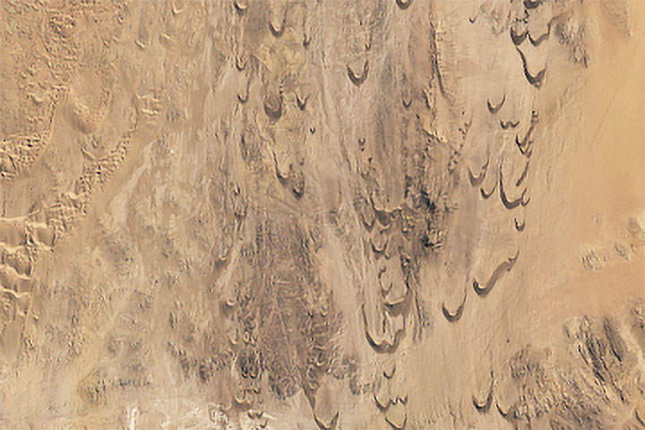
Racing Dunes in Namibia Read more
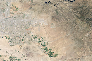
Hot and Cold in the Arizona Desert Read more
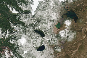
A Dynamic Landscape, a Dynamic Sensor Read more