The Landsat satellite record stretches from 1972 to the present. This gallery includes all Landsat images published on the Earth Observatory, Visible Earth, and Landsat Science web sites from all seven Landsat satellites (Landsats 1-8, Landsat 6 failed to achieve orbit). All of the images are in the public domain and may be used with attribution. The correct attribution for imagery obtained from this site is:
“Landsat imagery courtesy of NASA Goddard Space Flight Center and U.S. Geological Survey” or “USGS/NASA Landsat”
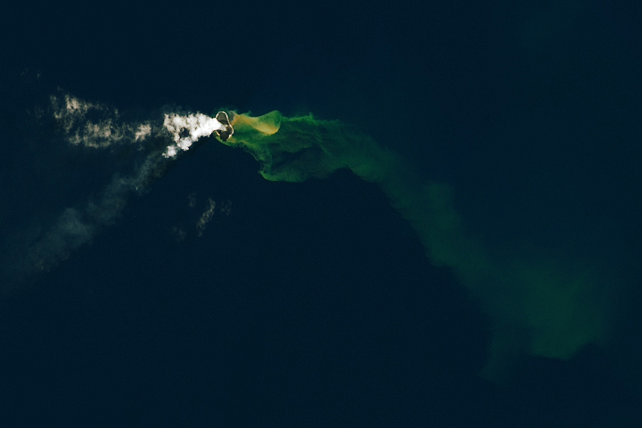
Home Reef Volcano Grows Read more
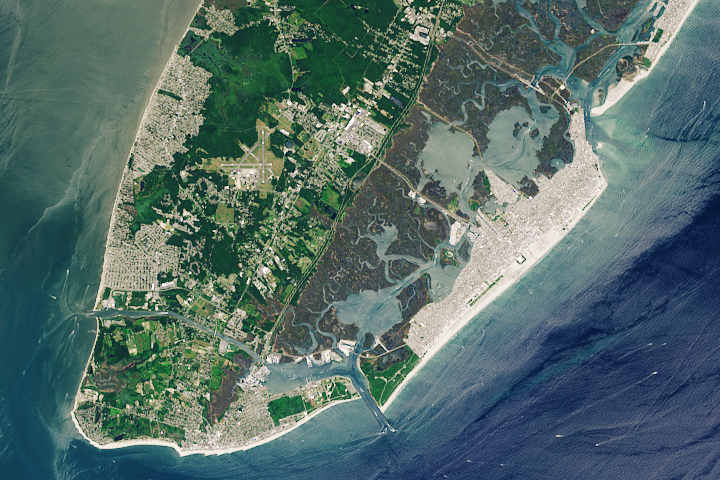
NASA Returns to the Beach: Wide Wildwood Beaches Read more
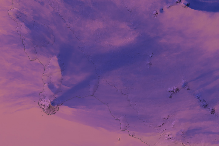
Stately Mount Siple Read more
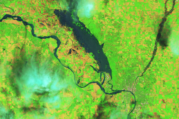
Record Rainfall Floods Midwest Read more
NASA Returns to the Beach: Taking Stock of Sandy Beaches Read more
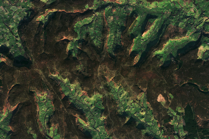
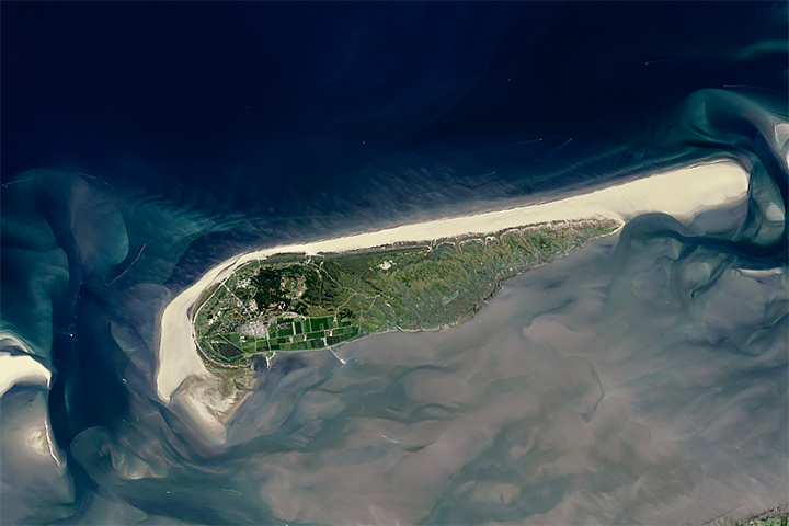
The Timeless Moors of Yorkshire Read more
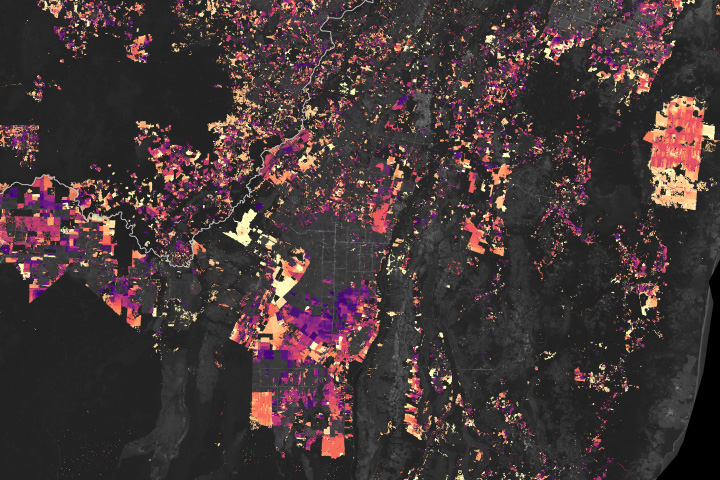
Tracking Forest Cover in Belize Read more
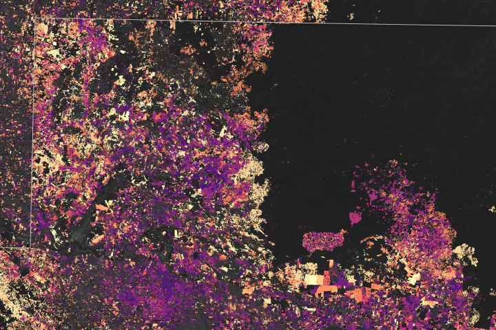
The Shrinking Selva Maya Read more
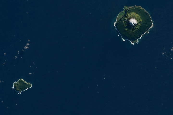
Remote Tristan da Cunha Read more