The Landsat satellite record stretches from 1972 to the present. This gallery includes all Landsat images published on the Earth Observatory, Visible Earth, and Landsat Science web sites from all seven Landsat satellites (Landsats 1-8, Landsat 6 failed to achieve orbit). All of the images are in the public domain and may be used with attribution. The correct attribution for imagery obtained from this site is:
“Landsat imagery courtesy of NASA Goddard Space Flight Center and U.S. Geological Survey” or “USGS/NASA Landsat”
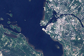
Oulu, Finland Read more
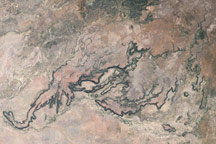
Porcupine Gorge, Queensland, Australia Read more
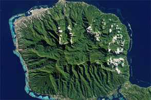
Tahiti, French Polynesia Read more

Zoom into Mount Etna Read more
Craters of the Moon, Idaho Read more
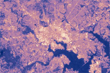
Urban Heat Island: Baltimore, MD Read more
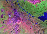
Noril’sk, Northeast Siberia Read more
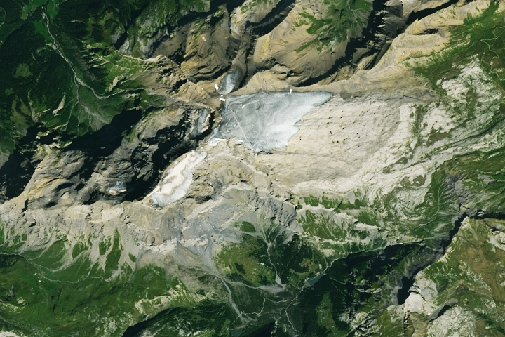
Rocky Road for Swiss Glaciers Read more
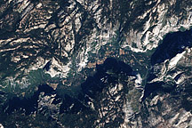
Yosemite National Park Read more