The Landsat satellite record stretches from 1972 to the present. This gallery includes all Landsat images published on the Earth Observatory, Visible Earth, and Landsat Science web sites from all seven Landsat satellites (Landsats 1-8, Landsat 6 failed to achieve orbit). All of the images are in the public domain and may be used with attribution. The correct attribution for imagery obtained from this site is:
“Landsat imagery courtesy of NASA Goddard Space Flight Center and U.S. Geological Survey” or “USGS/NASA Landsat”
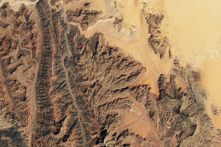
Dry Country of Turquoise Read more
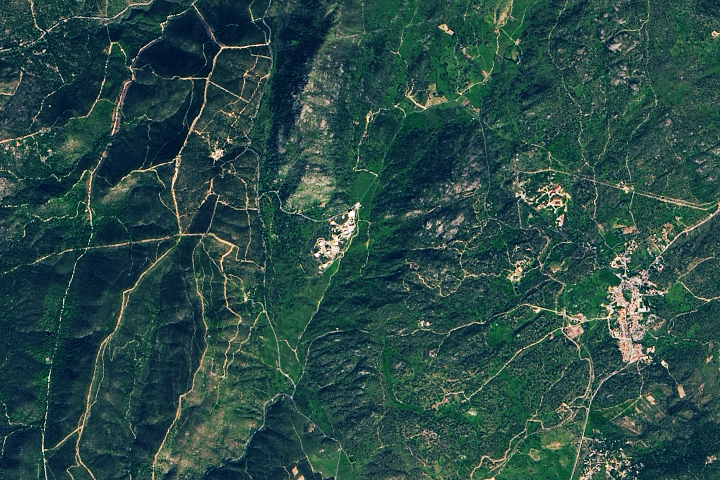
A Line from Spain to Deep Space Read more
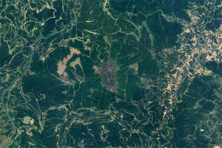
Fine-Tuning Irrigation in Asia Read more
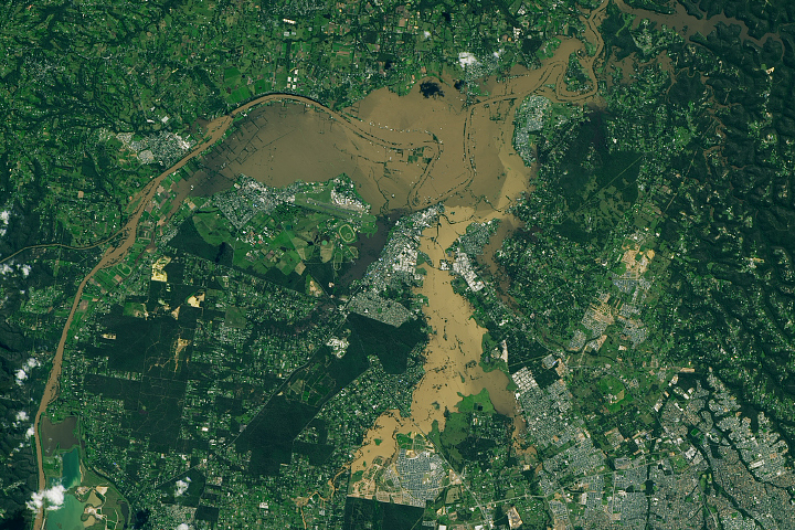
Historic Floods in New South Wales Read more
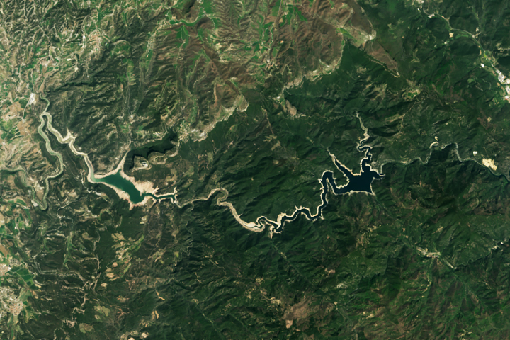
Shrinking Reservoirs in Catalonia Read more
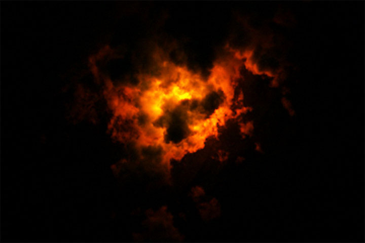
Landsat Views a Nighttime Eruption Read more
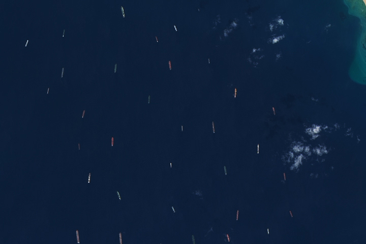
Traffic Jam on the Suez Canal Read more
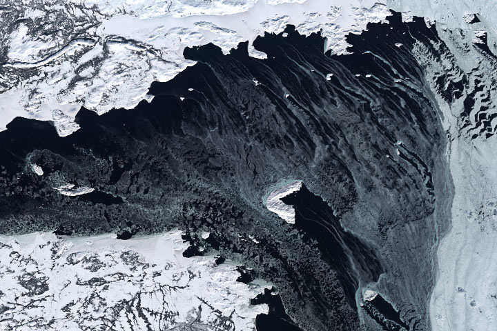
Season of Change in the Labrador Sea Read more
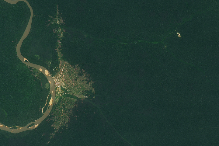
Dzanga Bai Elephant Enclave Read more