The Landsat satellite record stretches from 1972 to the present. This gallery includes all Landsat images published on the Earth Observatory, Visible Earth, and Landsat Science web sites from all seven Landsat satellites (Landsats 1-8, Landsat 6 failed to achieve orbit). All of the images are in the public domain and may be used with attribution. The correct attribution for imagery obtained from this site is:
“Landsat imagery courtesy of NASA Goddard Space Flight Center and U.S. Geological Survey” or “USGS/NASA Landsat”
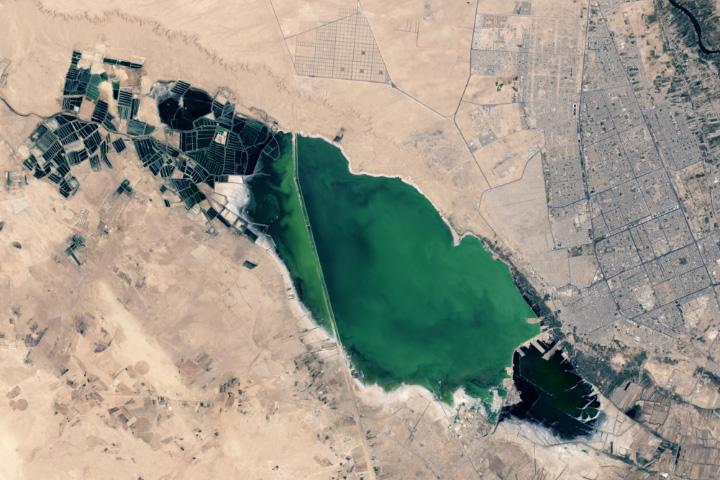
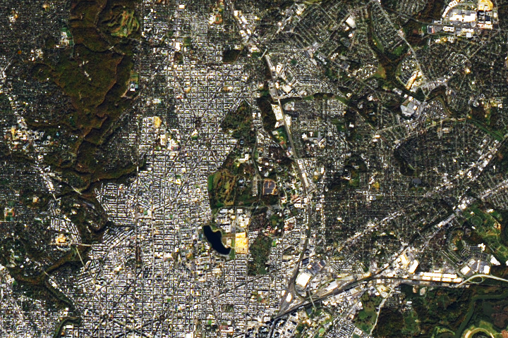
Changing Najaf Read more
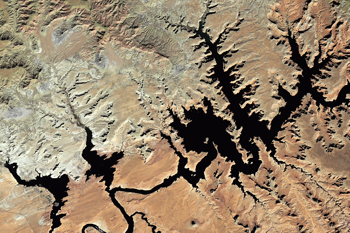
Lake Powell Rebounds but Drought Remains Read more
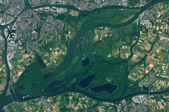
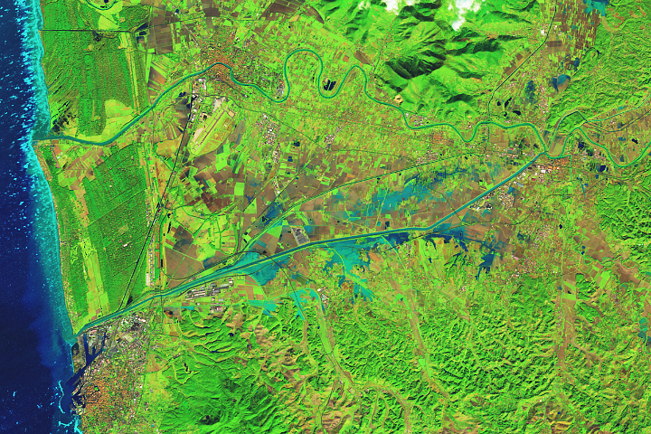
The Biesbosch of the Netherlands Read more
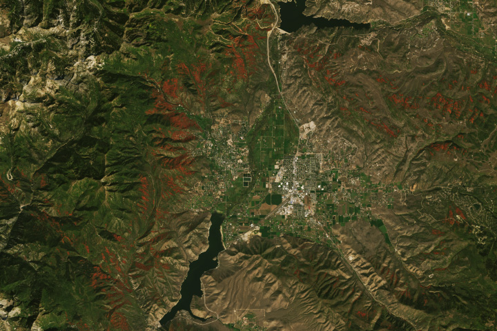
Watching for Color in the Wasatch Back Read more
A Place of Rest Read more
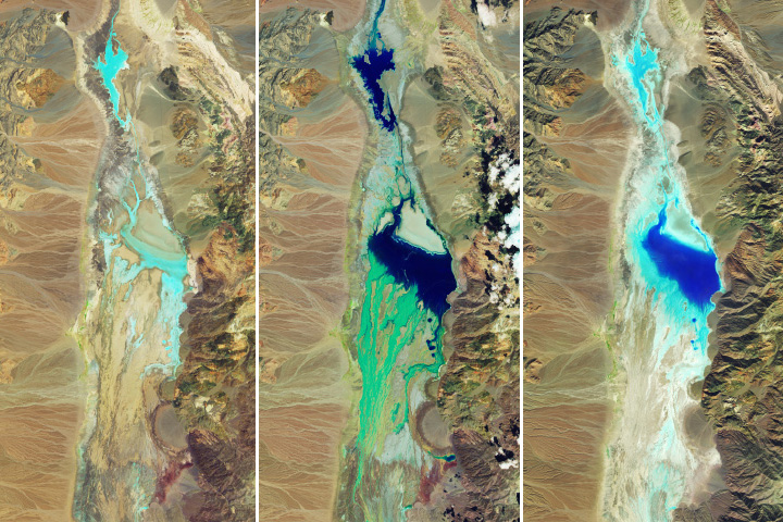
Floodwaters Fill Badwater Basin Read more
Flooding in Tuscany Read more

Fall Color in the Cuyahoga Valley Read more
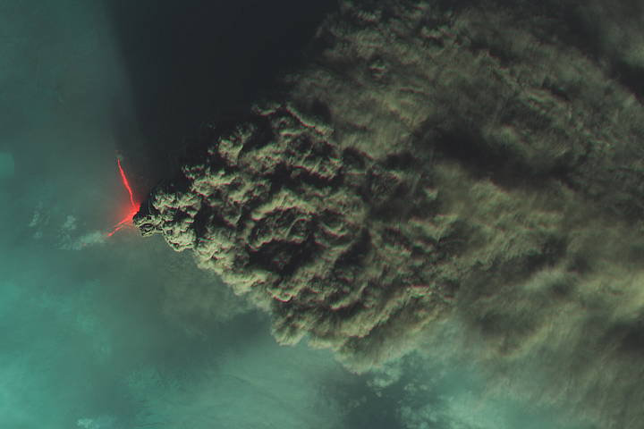
Volcanic Plume Billows From Klyuchevskoy Read more