The Biesbosch of the Netherlands
Downloads
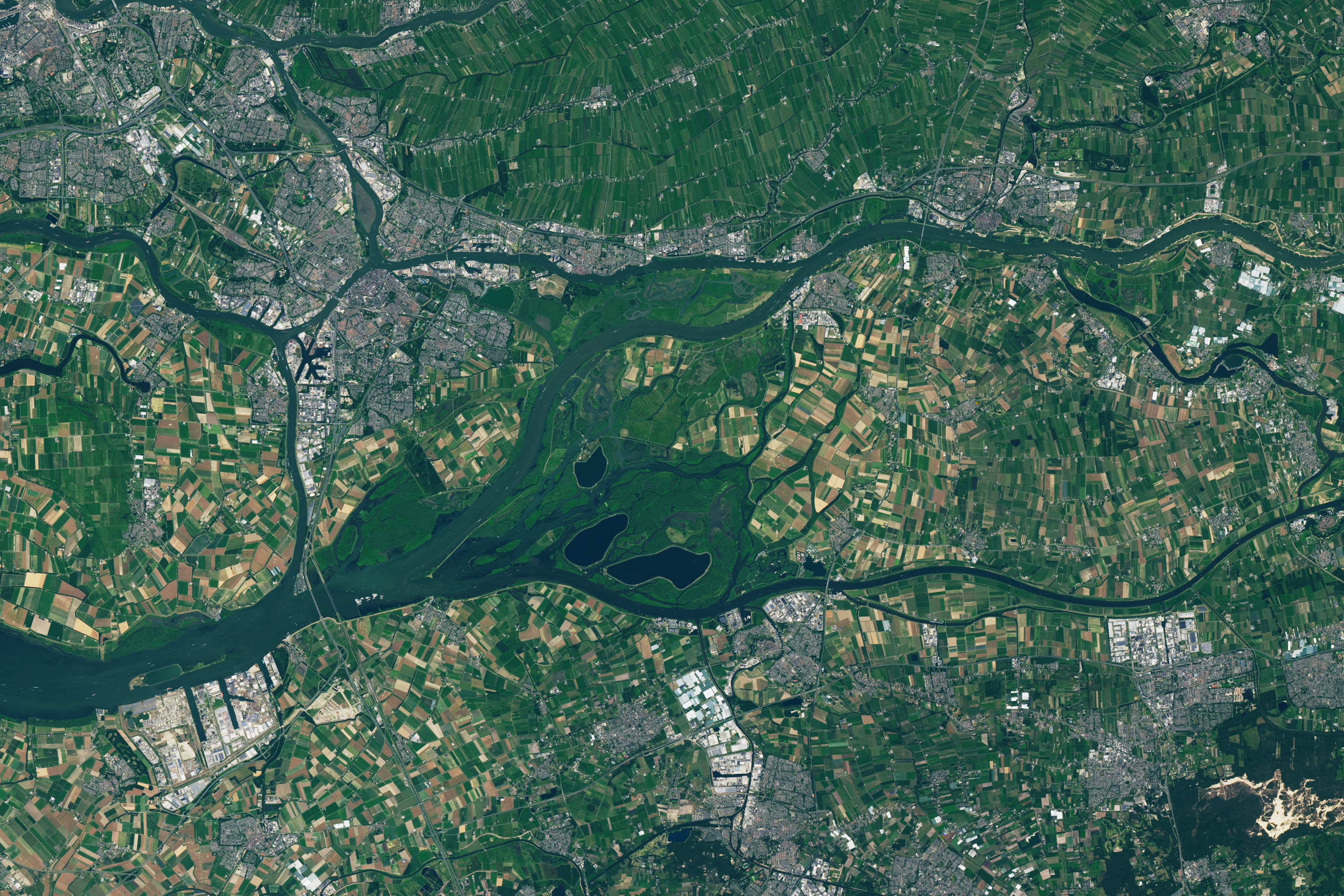
- debiesboschnp_oli_2023189_lrg.jpg (3068x2045, JPEG)
Metadata
- Sensor(s):
- Landsat 8 - OLI
- Data Date: July 8, 2023
- Visualization Date: November 14, 2023
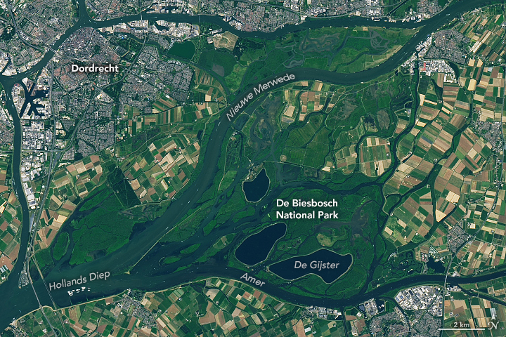
Within the Netherlands’ De Biesbosch National Park, abundant wildlife—from beavers and otters to kingfishers and egrets—thrive among reed beds and willow stands. But the verdant appearance of this large freshwater tidal wetland belies what is really a highly engineered landscape. The defining event shaping it today was a devastating flood in the 15th century. Since then, it has continued to evolve under the forces of rivers, tides, and human efforts to manage the water.
This image shows the national park, which was established in 1994, within the lower Rhine and Meuse delta. Agricultural land and the industrial port city of Dordrecht, which flank the wetlands, are also visible. The image was acquired by the OLI (Operational Land Imager) on Landsat 8, on July 8, 2023.
In November 1421, an extratropical cyclone struck the region, setting off what is known historically as St. Elizabeth’s flood. Swollen rivers and tidal surges led to dike failures. The floodwaters destroyed numerous villages and likely claimed thousands of victims in the area that is now the Biesbosch.
That flood created a large inland sea, where, over time, rivers and tides deposited sediments, and the landscape gradually morphed into one of islands and winding waterways. Reeds and grass-like aquatic plants called rushes established themselves on the sandy banks (Biesbosch roughly translates to “forest of rushes”), and some of the land was reclaimed for agriculture.
In recent centuries, a series of major engineering projects helped transform the Biesbosch into a largely human-dominated landscape. Prominent in the image are the Nieuwe Merwede canal, built in the mid-19th century for flood control, and three reservoirs including De Gijster, constructed in the 1970s to store water for domestic and industrial uses.
But instances of flooding persisted into the 20th century, including a deadly and damaging flood in 1953. Following that event, the Dutch Ministry of Infrastructure and Water Management embarked upon a massive flood control project called the Delta Works. The initiative included building new sluices to close off the Haringvliet estuary, a North Sea inlet downstream of the Biesbosch. When this happened in 1970, tidal ranges in the Biesbosch dropped from approximately 1.9 meters (6 feet) to around 0.4 meters (1.3 feet).
Today, visitors to the national park explore the flora and fauna of the protected natural area via hiking trails and waterways. The ecosystem they experience evolves, as well. For example, a rewilding organization is investigating whether the waterways can again support European sea sturgeon (Acipenser sturio). This anadromous fish was once abundant in the Rhine delta but has not been seen in Dutch waters in decades due to overfishing, degraded water quality, and obstructed channels. Dozens of young sturgeon were recently released into the Biesbosch to determine if a larger reintroduction might be successful.
References
- 600 Jaar Elisabethsvloed St. Elisabeth’s Flood History. Accessed September 25, 2023.
- ARK Rewilding Nederland Sturgeon. Accessed September 25, 2023.
- NASA Earth Observatory (2018, June 24) Fighting Back the Sea. Accessed September 25, 2023.
- Nationaal Park De Biesbosch Information. Accessed September 25, 2023.
- van der Deijl, E.C., et al. (2019) Pathways of Water and Sediment in the Biesbosch Freshwater Tidal Wetland. Wetlands 39, 197–215.
NASA Earth Observatory image by Lauren Dauphin, using Landsat data from the U.S. Geological Survey. Story by Lindsey Doermann.
This image record originally appeared on the Earth Observatory. Click here to view the full, original record.