The Landsat satellite record stretches from 1972 to the present. This gallery includes all Landsat images published on the Earth Observatory, Visible Earth, and Landsat Science web sites from all seven Landsat satellites (Landsats 1-8, Landsat 6 failed to achieve orbit). All of the images are in the public domain and may be used with attribution. The correct attribution for imagery obtained from this site is:
“Landsat imagery courtesy of NASA Goddard Space Flight Center and U.S. Geological Survey” or “USGS/NASA Landsat”
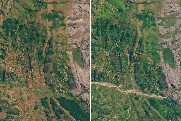
Floods and Landslides in Chimanimani Read more
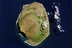
Amsterdam Island Read more
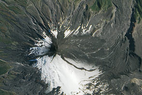
“V” is for Volcano Read more
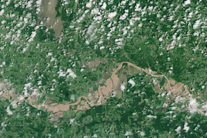
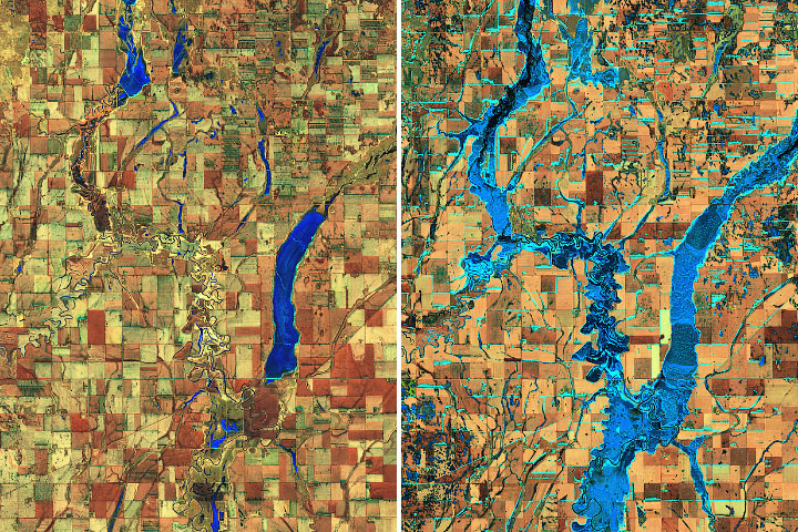
Flooding of The Red River Read more
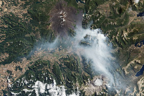
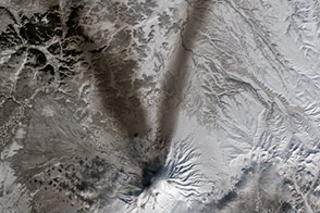
Wildfires near Chile’s Llaima Volcano Read more
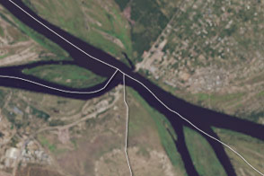
Double Tripoint in Southern Africa Read more
Relentless Floods Read more
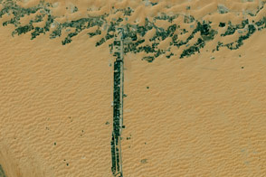
The Alphabet from Orbit: Letter T Read more
Eruption of Villarrica Volcano Read more