The Landsat satellite record stretches from 1972 to the present. This gallery includes all Landsat images published on the Earth Observatory, Visible Earth, and Landsat Science web sites from all seven Landsat satellites (Landsats 1-8, Landsat 6 failed to achieve orbit). All of the images are in the public domain and may be used with attribution. The correct attribution for imagery obtained from this site is:
“Landsat imagery courtesy of NASA Goddard Space Flight Center and U.S. Geological Survey” or “USGS/NASA Landsat”
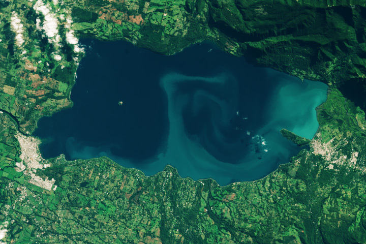
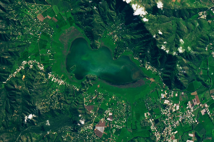
Algae in the Andes Read more
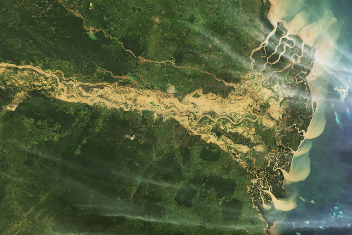
Destructive Floods Afflict Tanzania Read more
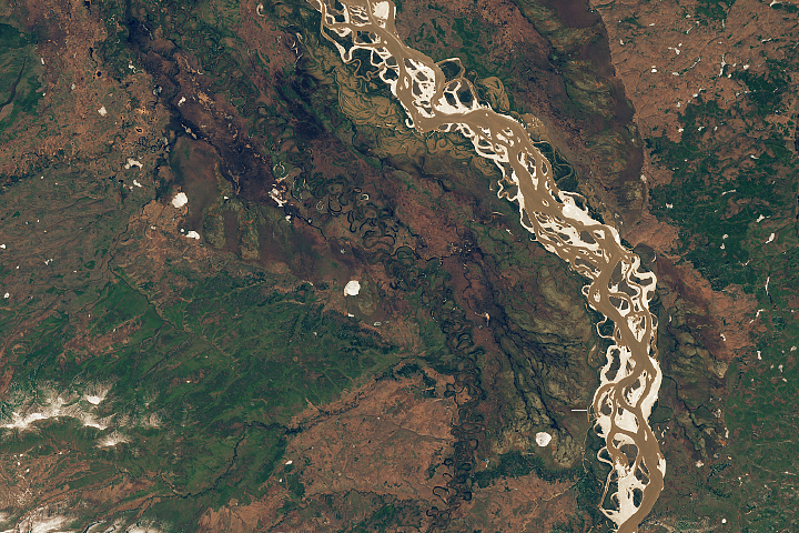
A Tumultuous Spring Breakup Read more
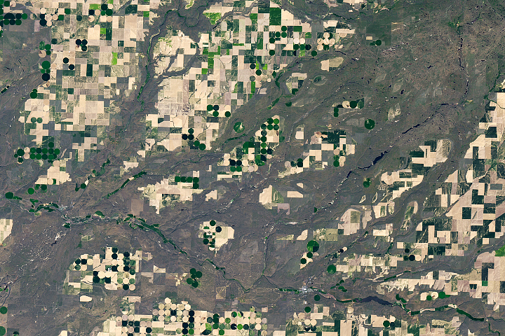
Scars of Ice Age Floods Read more
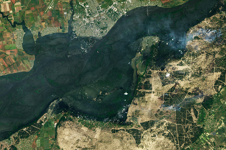
Canals in Ukraine are Drying Up Read more
Water Returns to Laguna de Aculeo Read more
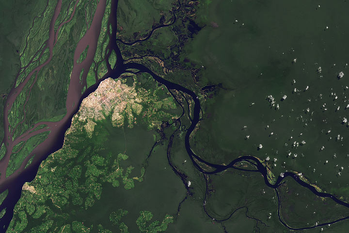
Shedding Light on a Very Dark River Read more
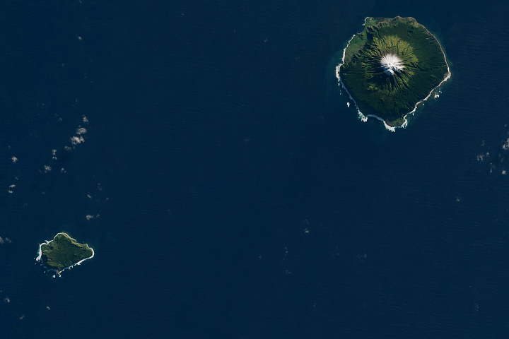
Remote Tristan da Cunha Read more
Devastation in Morocco Read more