The Landsat satellite record stretches from 1972 to the present. This gallery includes all Landsat images published on the Earth Observatory, Visible Earth, and Landsat Science web sites from all seven Landsat satellites (Landsats 1-8, Landsat 6 failed to achieve orbit). All of the images are in the public domain and may be used with attribution. The correct attribution for imagery obtained from this site is:
“Landsat imagery courtesy of NASA Goddard Space Flight Center and U.S. Geological Survey” or “USGS/NASA Landsat”
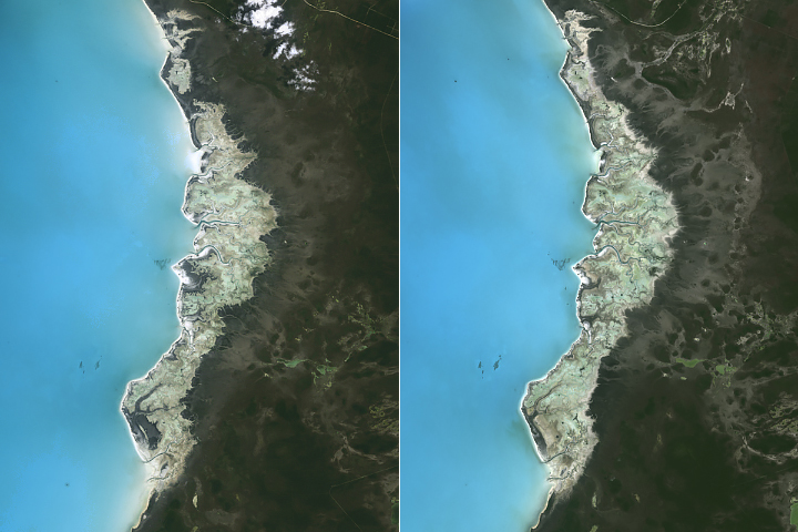
Signs of Sea Level Rise in the Bahamas Read more
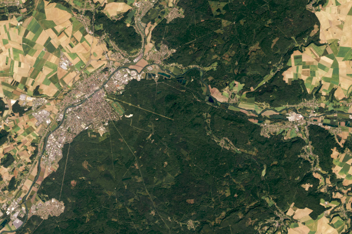
The Glade of the Armistice Read more
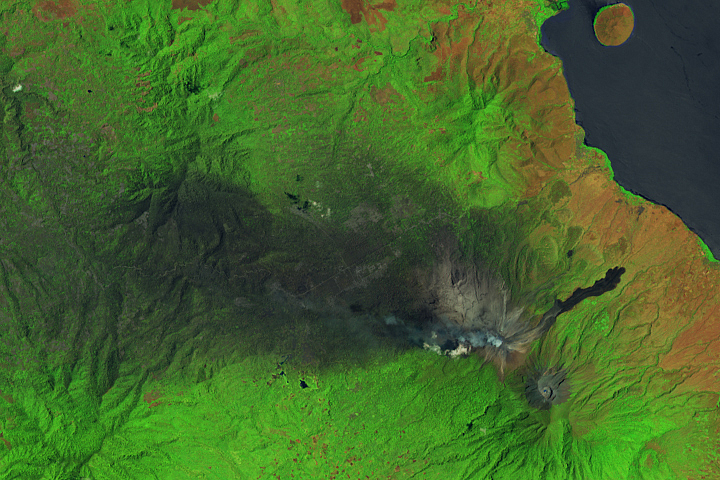
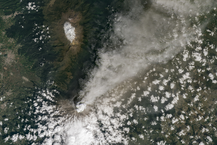
Mount Lewotobi Laki-Laki Spews Ash Read more
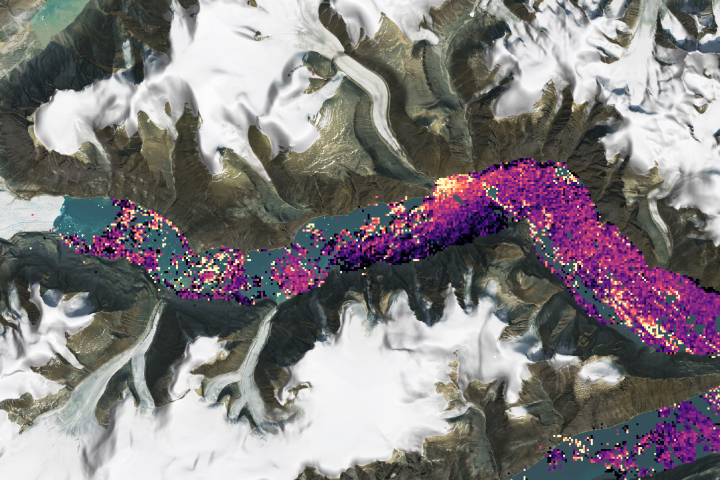
Sizing Up a Greenland Tsunami Read more
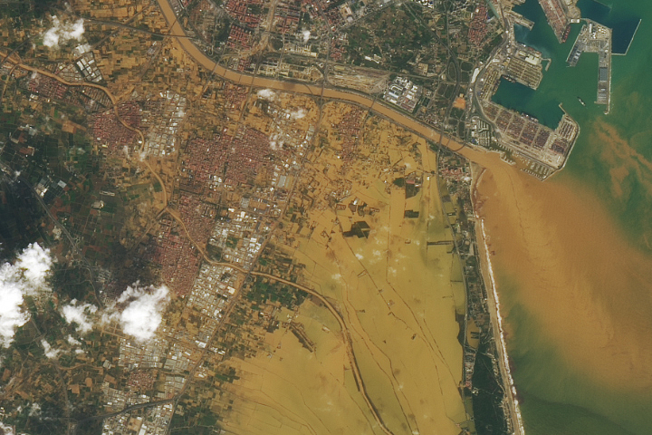
Valencia Floods Read more
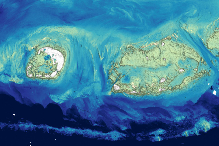
Landsat Plumbs the (Shallow) Depths Read more
Popocatépetl Continues to Grumble Read more

Streaming Snow and “Sea Smoke” Read more
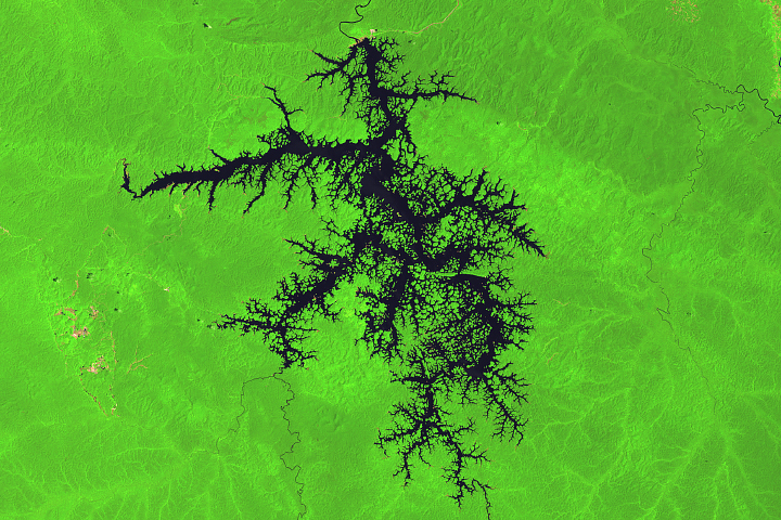
Petit Saut Reservoir Read more