The Landsat satellite record stretches from 1972 to the present. This gallery includes all Landsat images published on the Earth Observatory, Visible Earth, and Landsat Science web sites from all seven Landsat satellites (Landsats 1-8, Landsat 6 failed to achieve orbit). All of the images are in the public domain and may be used with attribution. The correct attribution for imagery obtained from this site is:
“Landsat imagery courtesy of NASA Goddard Space Flight Center and U.S. Geological Survey” or “USGS/NASA Landsat”
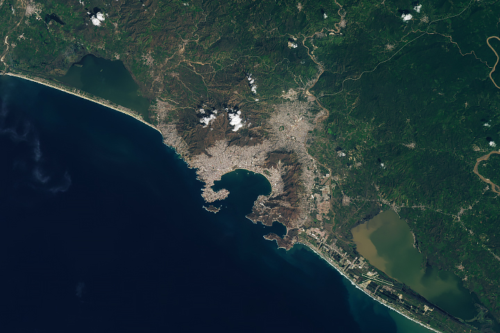
Acapulco After Hurricane Otis Read more
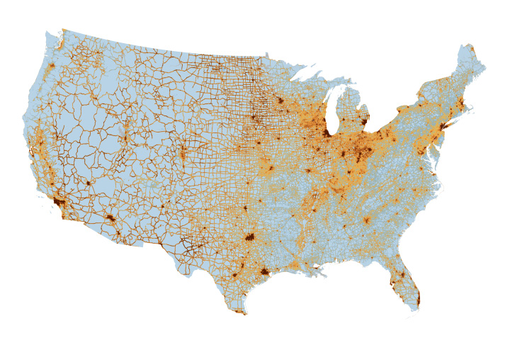
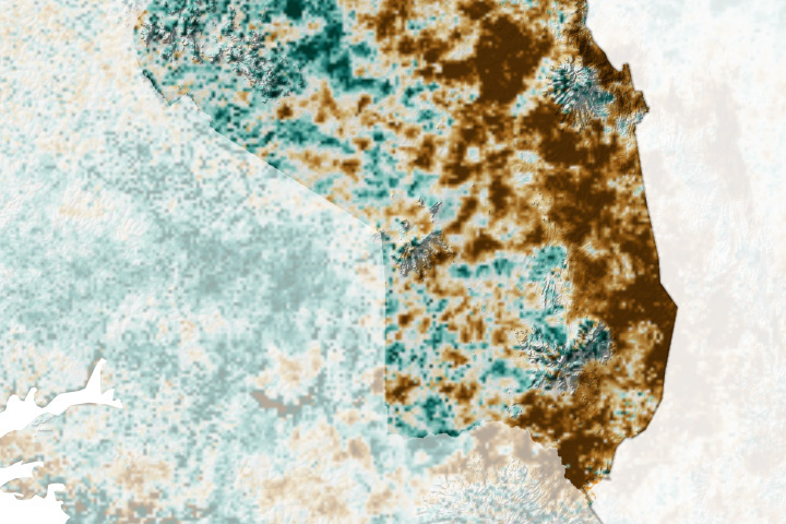
An Unequal Air Pollution Burden at School Read more
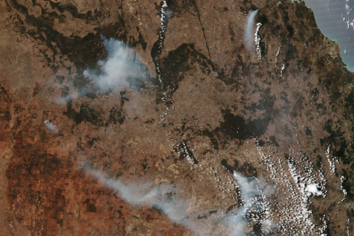
Bushfires in Queensland Read more
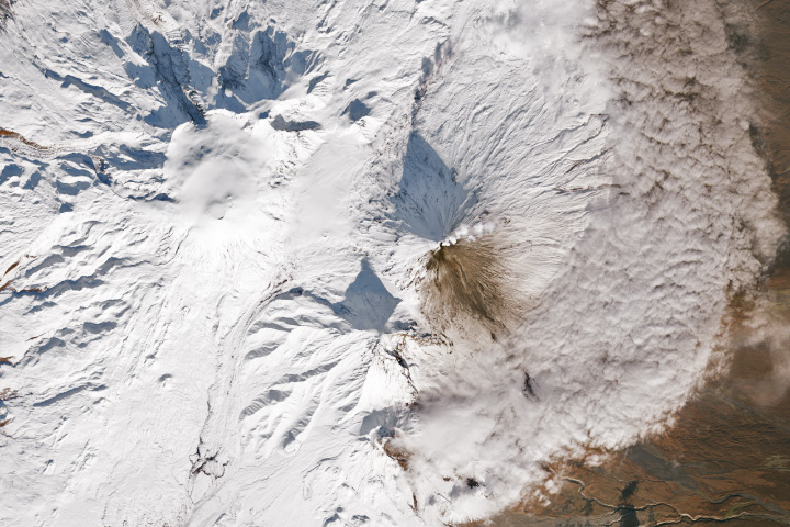
A Pair of Restless Volcanoes Read more
Karamoja Beset with Drought Read more
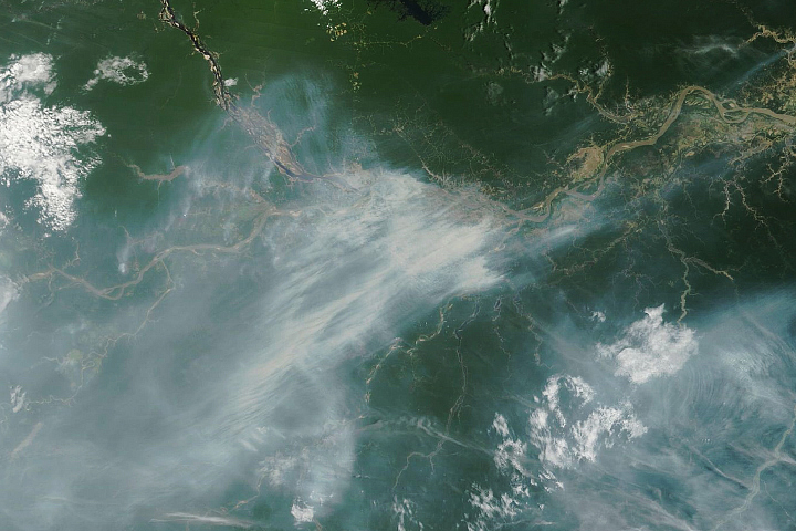
Drought Fuels Wildfires in the Amazon Read more

Drought on the Rio Negro Read more
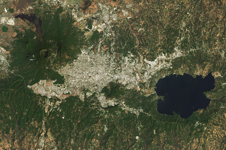
San Salvador: A City Among Volcanoes Read more
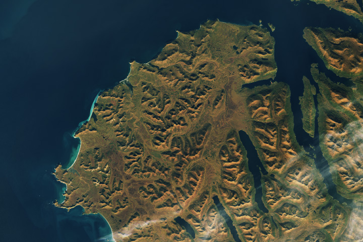
Warm Autumn Hues on Kodiak Island Read more