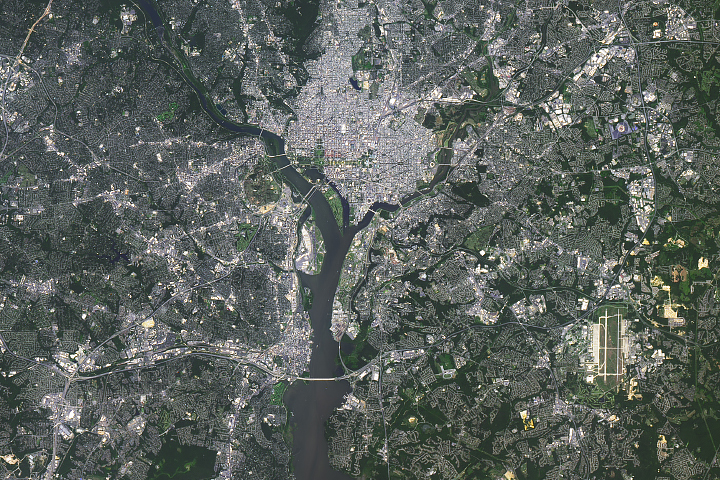
The Landsat satellite record stretches from 1972 to the present. This gallery includes all Landsat images published on the Earth Observatory, Visible Earth, and Landsat Science web sites from all seven Landsat satellites (Landsats 1-8, Landsat 6 failed to achieve orbit). All of the images are in the public domain and may be used with attribution. The correct attribution for imagery obtained from this site is:
“Landsat imagery courtesy of NASA Goddard Space Flight Center and U.S. Geological Survey” or “USGS/NASA Landsat”

Glacial Losses in the Swiss Alps Read more
Nyamulagira Brings the Heat Read more

A Proliferation of Lakes on the Tibetan Plateau Read more
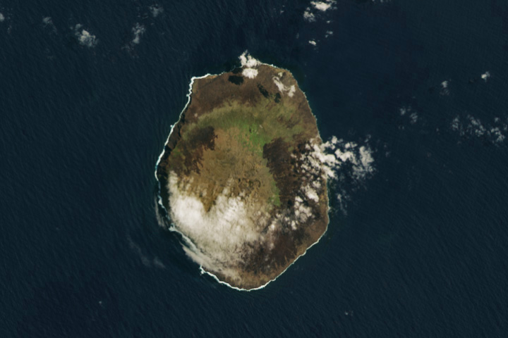
Large Fire Footprint on Faraway Amsterdam Island Read more
Spotting Disruptions to Earth’s Vegetation Read more

The Cloudy Waters of Kachemak Bay Read more

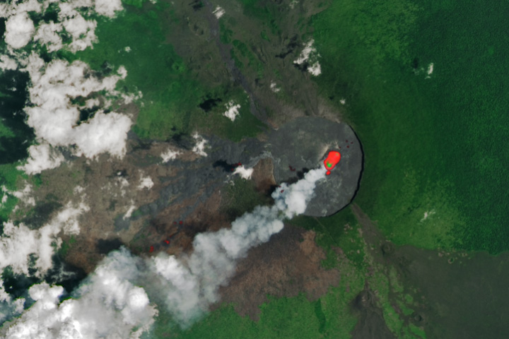
River of Fire on Mount Etna Read more
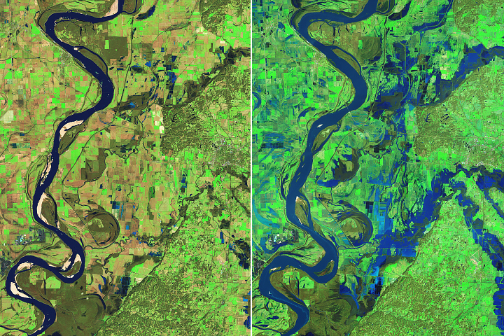
Floods Swamp Tennessee Read more
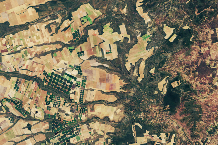
A Most “Pleasantly Situated” Estate Read more