The Landsat satellite record stretches from 1972 to the present. This gallery includes all Landsat images published on the Earth Observatory, Visible Earth, and Landsat Science web sites from all seven Landsat satellites (Landsats 1-8, Landsat 6 failed to achieve orbit). All of the images are in the public domain and may be used with attribution. The correct attribution for imagery obtained from this site is:
“Landsat imagery courtesy of NASA Goddard Space Flight Center and U.S. Geological Survey” or “USGS/NASA Landsat”
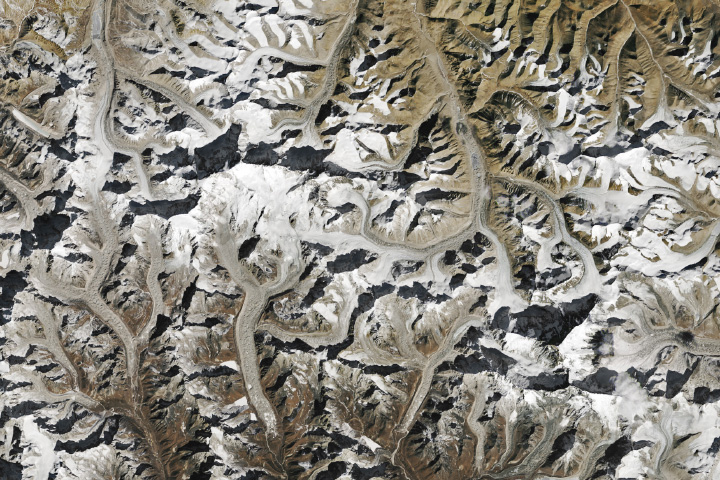
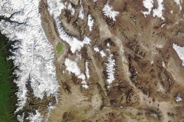
Himalayan Snow Lines on the Rise Read more
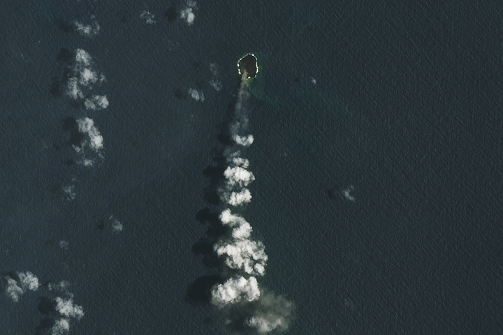
A Growth Spurt for Home Reef Read more
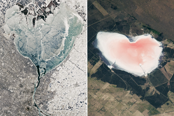
A Pair of Hearts Read more

Fires Rage in Patagonia Read more
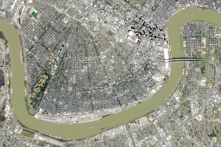
A Super Stadium Read more
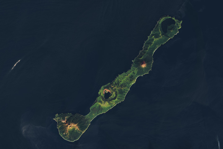
Nested Calderas of Zavaritskogo Read more
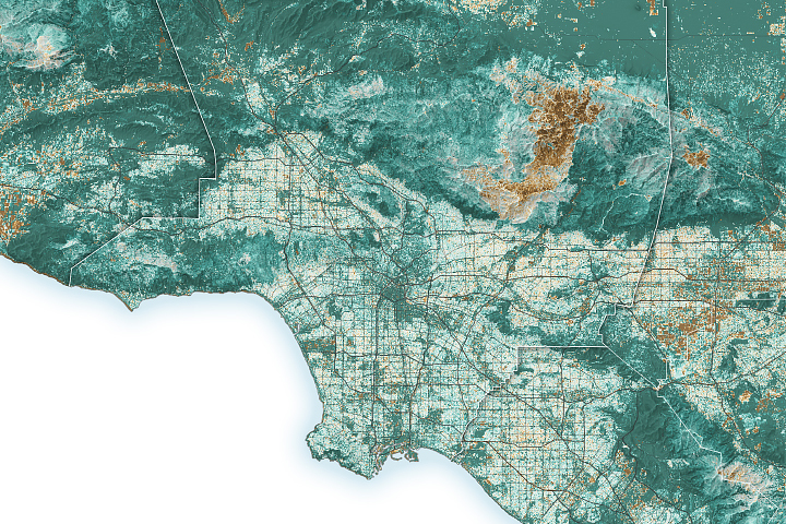
Fuel for California Fires Read more
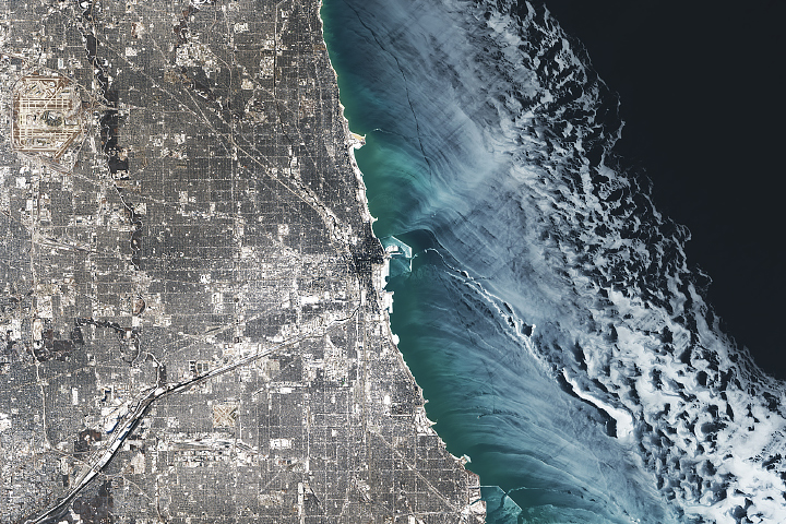
A Chill Over Chicagoland Read more
A Network of Dried Lakes Read more