The Landsat satellite record stretches from 1972 to the present. This gallery includes all Landsat images published on the Earth Observatory, Visible Earth, and Landsat Science web sites from all seven Landsat satellites (Landsats 1-8, Landsat 6 failed to achieve orbit). All of the images are in the public domain and may be used with attribution. The correct attribution for imagery obtained from this site is:
“Landsat imagery courtesy of NASA Goddard Space Flight Center and U.S. Geological Survey” or “USGS/NASA Landsat”
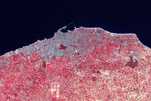
Tripoli, Libya Read more
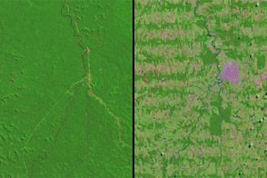
Rondônia, Brazil Read more
Microsoft Comes into Being Read more

Pervasive Ice Retreat in West Antarctica Read more
Home Run Record in Cincinnati Read more
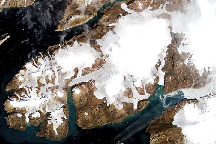
A Half-Century of Loss in Northwest Greenland Read more
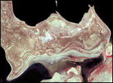
The Shrinking Aral Sea Read more
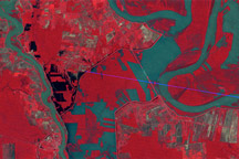
Morganza Floodway, 1973 Read more
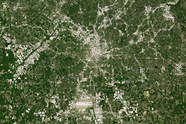
Changing Atlanta Read more