The Landsat satellite record stretches from 1972 to the present. This gallery includes all Landsat images published on the Earth Observatory, Visible Earth, and Landsat Science web sites from all seven Landsat satellites (Landsats 1-8, Landsat 6 failed to achieve orbit). All of the images are in the public domain and may be used with attribution. The correct attribution for imagery obtained from this site is:
“Landsat imagery courtesy of NASA Goddard Space Flight Center and U.S. Geological Survey” or “USGS/NASA Landsat”
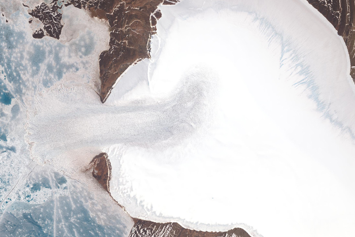
A Surprising Surge at Vavilov Ice Cap Read more
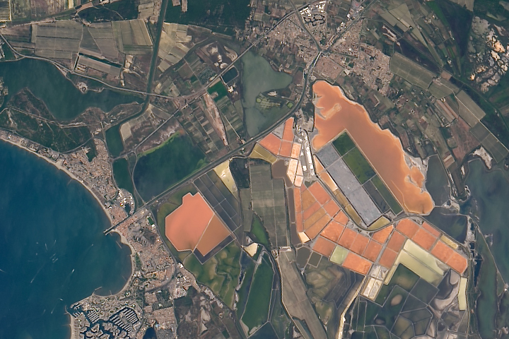
Salin Aigues-Mortes Read more
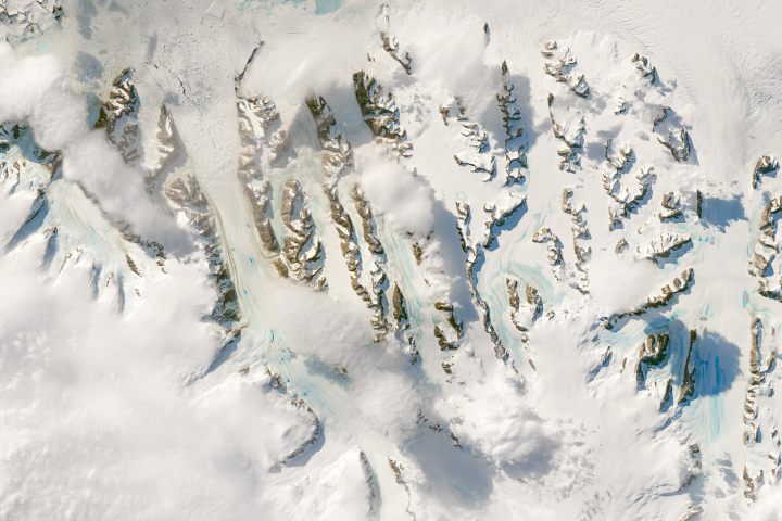
Warm Winds Trigger Melting in Antarctica Read more
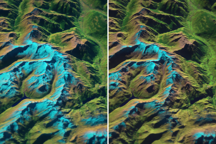
Länta Glacier: Small and Getting Smaller Read more
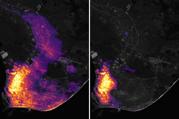
Darkness in the Wake of Idai Read more
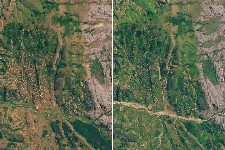
Floods and Landslides in Chimanimani Read more
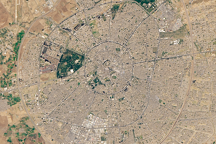
History on a Hill Read more
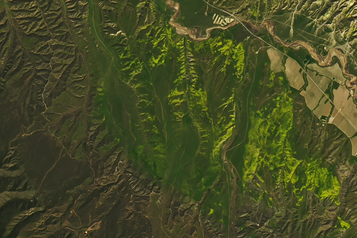
Wildflowers on the Carrizo Plain Read more
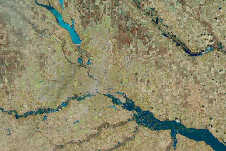
Icy Floodwaters Grind Through Iowa Read more