The Landsat satellite record stretches from 1972 to the present. This gallery includes all Landsat images published on the Earth Observatory, Visible Earth, and Landsat Science web sites from all seven Landsat satellites (Landsats 1-8, Landsat 6 failed to achieve orbit). All of the images are in the public domain and may be used with attribution. The correct attribution for imagery obtained from this site is:
“Landsat imagery courtesy of NASA Goddard Space Flight Center and U.S. Geological Survey” or “USGS/NASA Landsat”
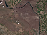
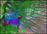
Hanford, Washington Before Fires Read more
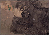
Hanford, Washington After Fires Read more
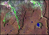
Basalt Cliffs, Patagonia, Argentina Read more
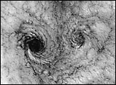
Landsat 7 Reveals Large-scale Fractal Motion of Clouds Read more
Los Alamos Fires From Landsat 7 Read more
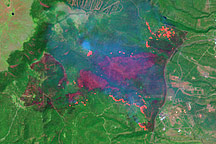
Los Alamos Fires From Landsat 7 Read more
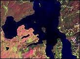
Landsat 7 - First Cloud-free Image of Yellowstone National Park Read more
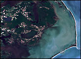
Hurricane Floyd Effects on Coastal Ecology Read more
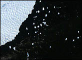
Iceberg B10A Calving Read more