
Winter at Karazhanbas Oil Field
Downloads
- karazhanbas_oli_2017035_lrg.jpg (2785x1857, JPEG)
- karazhanbas_oli_2017035.jpg (720x480, JPEG)
Metadata
- Sensor(s):
- Landsat 8 - OLI
- Data Date: February 4, 2017
- Visualization Date: April 21, 2017
Kazakhstan has roughly 3 percent of the world’s crude oil reserves. With proven reserves of 30 billion barrels, the large, land-locked country has the second most in Eurasia and the twelfth most in the world, just behind the United States.
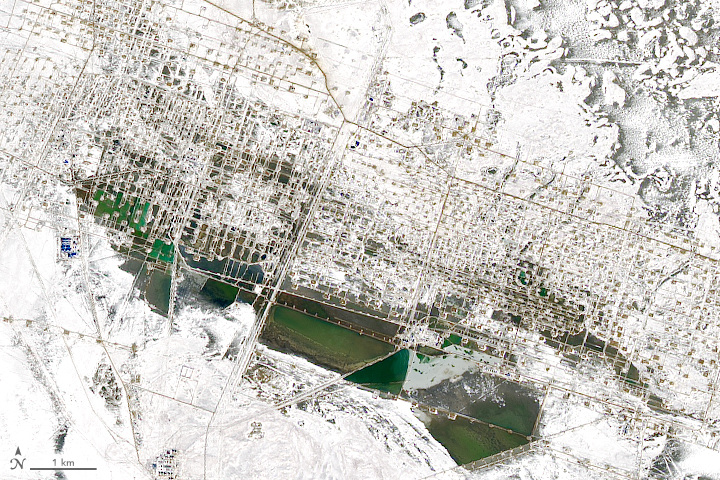
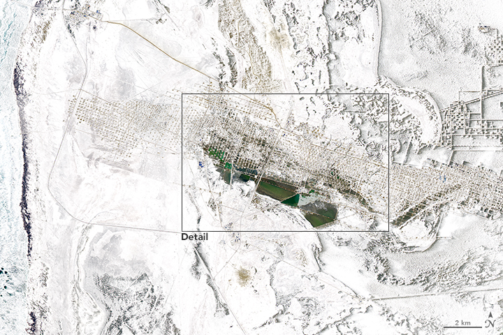
The oil is spread between 172 oil fields, mainly in the western part of the country. The Operational Land Imager (OLI) on Landsat 8 captured this natural-color image of Karazhanbas oilfield in the Mangystau Province on February 4, 2017. At the time, a blanket of snow covered the oilfield, making the drilling wells, pipelines, roads, and other infrastructure stand out as if in three dimensions.
With 230 million barrels in reserves, Karazhanbas is not Kazakhstan’s largest oil field. The nearby offshore Kashagan field is thought to hold between 7 and 13 billion barrels of recoverable crude oil. The Tengiz field, which is located near the shores of the Caspian Sea as well, has reserves between 6 and 9 billion barrels.
Since Kazakhstan is land-locked, it relies on pipelines to distribute its oil. The Karazhanbas field is located near the Uzen-Atyrau-Samara pipeline, which conveys oil north and east toward Russia.
References and Related Reading
- Energy Information Administration (2015, January 14) Kazakhstan. Accessed March 10, 2017.
- KazMunaiGas Oil and gas sector. Accessed March 10, 2017.
NASA Earth Observatory images by Joshua Stevens, using Landsat data from the U.S. Geological Survey. Caption by Adam Voiland.
This image record originally appeared on the Earth Observatory. Click here to view the full, original record.