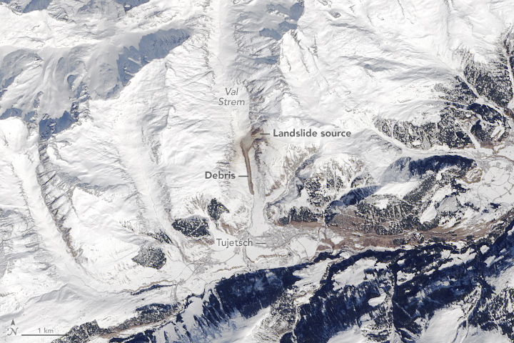
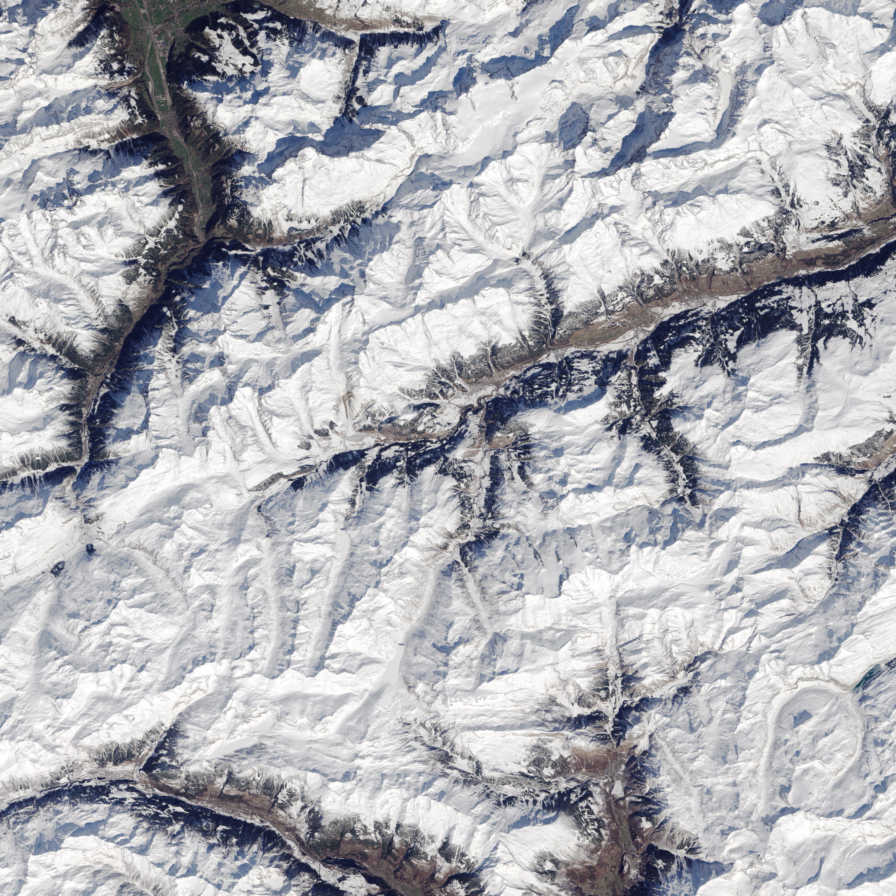
acquired March 18, 2016
Val Strem Landslide
Downloads
- strem_oli_2016078_lrg.jpg (3000x3000, JPEG)
- strem_oli_2016078_geo.tif (3000x3000, GeoTIFF)
Metadata
- Sensor(s):
- Landsat 8 - OLI
- Data Date: March 18, 2016
- Visualization Date: April 6, 2016
In March 2016, rock and soil tumbled down the eastern side of the steep Strem Valley in Tujetsch municipality. The Operational Land Imager (OLI) on Landsat 8 captured this image of debris left by the rockslide on March 18, 2016. Despite sliding about 1 kilometer (0.6 mile) down the snow-covered valley, the debris did not cause any damage to life or property.
References
- The Landslide Blog (2016, March 17) The Val Strem rockslide – a dramatic long run out landslide in Switzerland. Accessed April 6, 2016.
NASA Earth Observatory image by Jesse Allen, using Landsat data from the U.S. Geological Survey. Caption by Adam Voiland.
This image record originally appeared on the Earth Observatory. Click here to view the full, original record.