High Resolution View of Hanford, Washington
Downloads
- landsat_hanford_before_lrg.jpg (2400x1801, JPEG)
- landsat_hanford_after_lrg.jpg (2400x1801, JPEG)
Metadata
- Sensor(s):
- Landsat 7 - ETM+
- Data Date: July 9, 2000
- Visualization Date: September 19, 2000
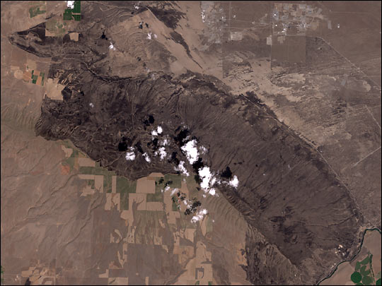
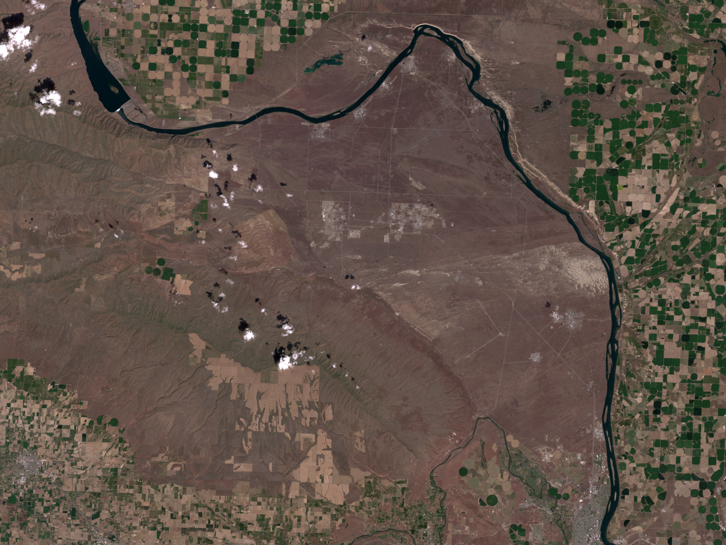
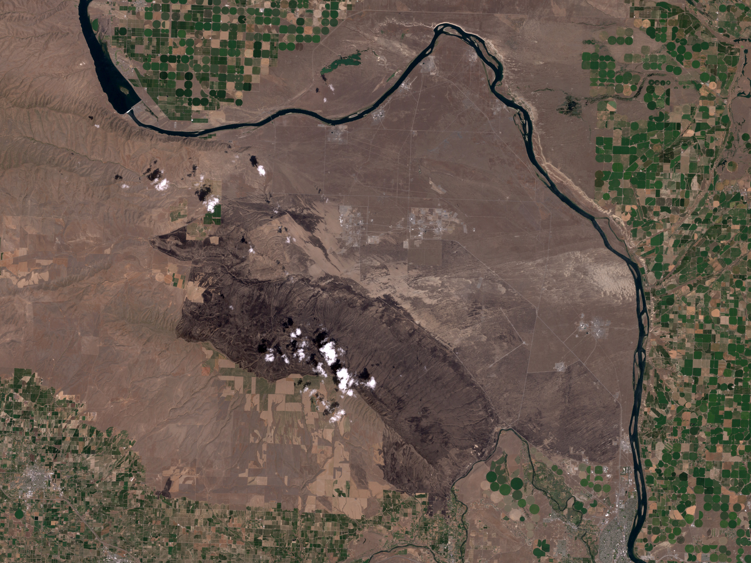
The LANDSAT 7 satellite aquired this true-color image near the Hanford Nuclear Reservation on July 9, 2000, two weeks after a brushfire swept through 100,000 acres of scrubland. LANDSAT’s Enhanced Thematic Mapper Plus views the Earth at much higher resolution than the Geostationary Operational Environmental Satellite (GOES) Imager or Multi-angle Imaging Spectroradiometer (MISR). Each instrument has different strengths. LANDSAT has up to 15 meter resolution, compared to GOES’s 1 kilometer resolution and MISR’s 275 meter resolution. GOES can view the same area of the Earth as frequently as once a minute, while LANDSAT is limited to once every 16 days. MISR is unique because it views the Earth at 9 different angles simultaneously. Combined with other Earth observing sensors, these instruments are providing us with a new view of the world that is leading us towards a new understanding.
For more information visit the LANDSAT 7 page at the United States Geological Survey (USGS)
Image courtesy Ron Beck, USGS EROS Data Center
This image record originally appeared on the Earth Observatory. Click here to view the full, original record.