Nyamuragira and Nyiragongo
Downloads
- nyamuragira_l7_2003031_lrg.jpg (4500x4500, JPEG)
- nyamuragira_l7_2003031_742_geo.tif (5000x5000, GeoTIFF)
- ge_08291.kml (KML)
Metadata
- Sensor(s):
- Landsat 7 - ETM+
- Data Date: January 31, 2003
- Visualization Date: December 10, 2007
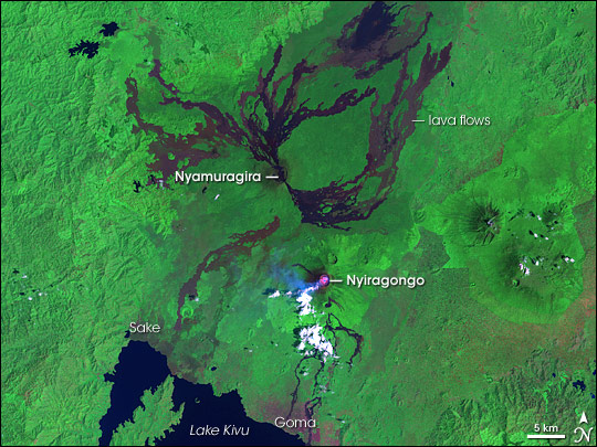
In central Africa, in the Democratic Republic of the Congo, sit two volcanoes: Nyiragongo and Nyamuragira. Besides their proximity to Lake Kivu in the south, these volcanoes share the capacity for destruction, each having produced its share of catastrophic eruptions since the early twentieth century. Yet these volcanoes differ markedly from each other, one being a low-profiled structure rising subtly from the plain, and the other sporting steep slopes.
NASA’s Landsat 7 satellite captured this false-color image of Nyamuragira and Nyiragongo on January 31, 2007, about a year after Nyiragongo sent a devastating lava flow through the town of Goma. Lava flows from neighboring Nyamuragira, however, are more conspicuous in this picture, contrasting with the lush green vegetation with their somber shades of brown and purple-black. Nyiragongo shows evidence of its own activity. The deep pink dot at its summit is a hotspot where the sensor has detected unusually warm surface temperatures. The bright white dots are clouds, likely resulting from water vapor released by the volcano. Near the clouds is a small area of peacock blue, also part of the volcanic plume. Along the shores of Lake Kivu, areas of purple-brown indicate bare ground and human-made structures.
At 3,470 meters (11,384 feet) high, Nyiragongo Volcano is a stratovolcano, a steep-sloped structure composed of alternating layers of solidified ash, hardened lava, and rocks ejected by previous eruptions. Prior to its 2002 eruption, this volcano wrought havoc in 1977 when it emptied a lava lake at its summit and caused a very fluid, fast-moving lava flow.
In contrast to its neighbor, Nyamuragira (or Nyamulagira) Volcano is a shield volcano, composed of old lava flows, that derives its description from its resemblance to an ancient warrior shield. Lava flows from this volcano cover some 1,500 square kilometers (580 square miles), and the volcano rises very gradually, reaching an altitude of 3,058 meters (10,033 feet). Despite its subtler shape, this volcano drained its own lava lake in 1938, sending lava flows all the way to Lake Kivu. For a three-dimensional image of these contrasting volcanoes, see Nyiragongo Lava Flows.
These volcanoes’ tendency to release catastrophic lava flows prompted volcanologists to look for innovative ways to monitor their behavior, and even develop “smart” systems that can act independently to collect observations as quickly as possible. See the Earth Observatory feature Observing Volcanoes, Satellite Thinks for Itself for more information.
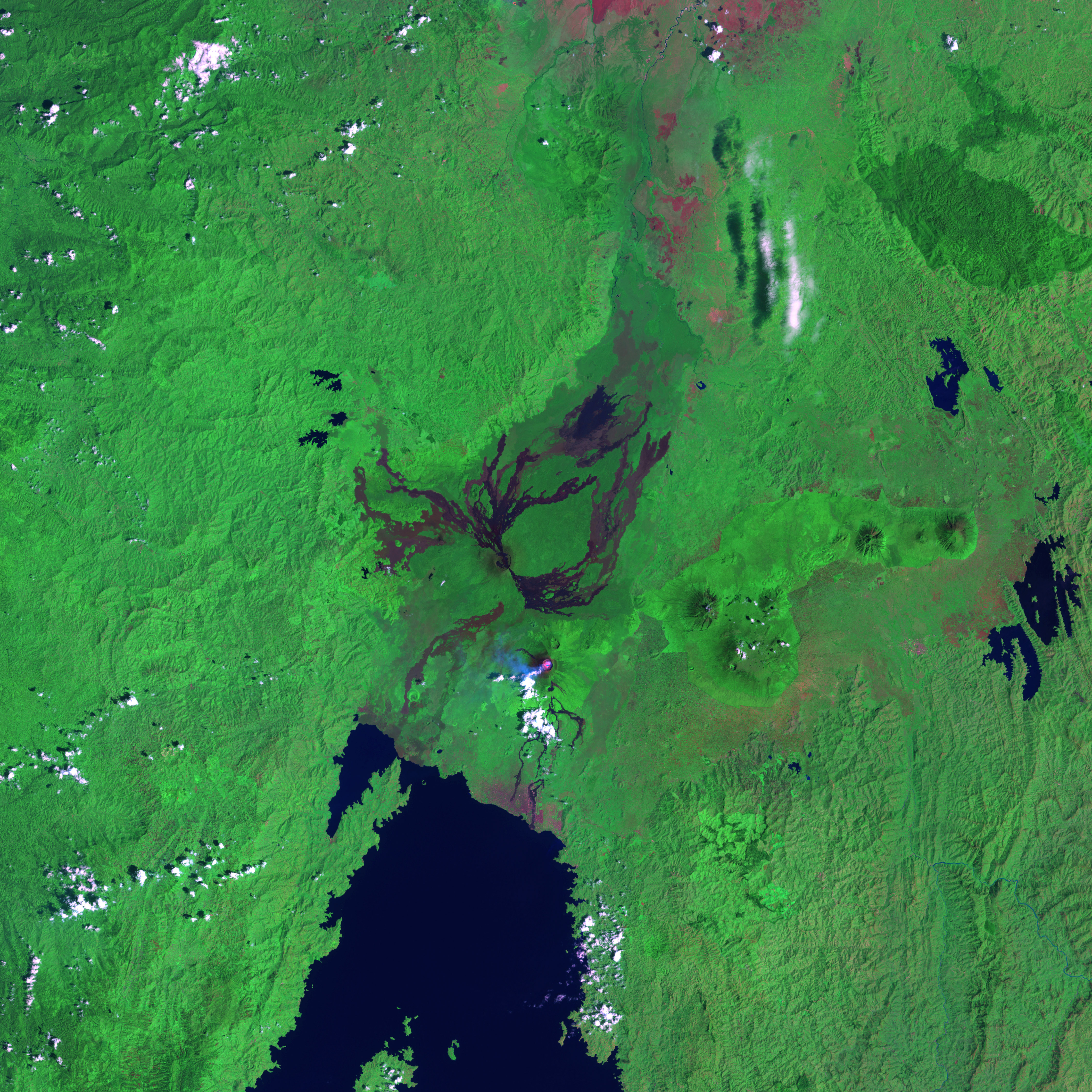
You can also download a 28.5-meter-resolution KMZ file of the Nyamuragira and Nyiragongo volcanoes suitable for use with Google Earth.
NASA image created by Jesse Allen, using Landsat data provided by the University of Maryland’s Global Land Cover Facility.
This image record originally appeared on the Earth Observatory. Click here to view the full, original record.