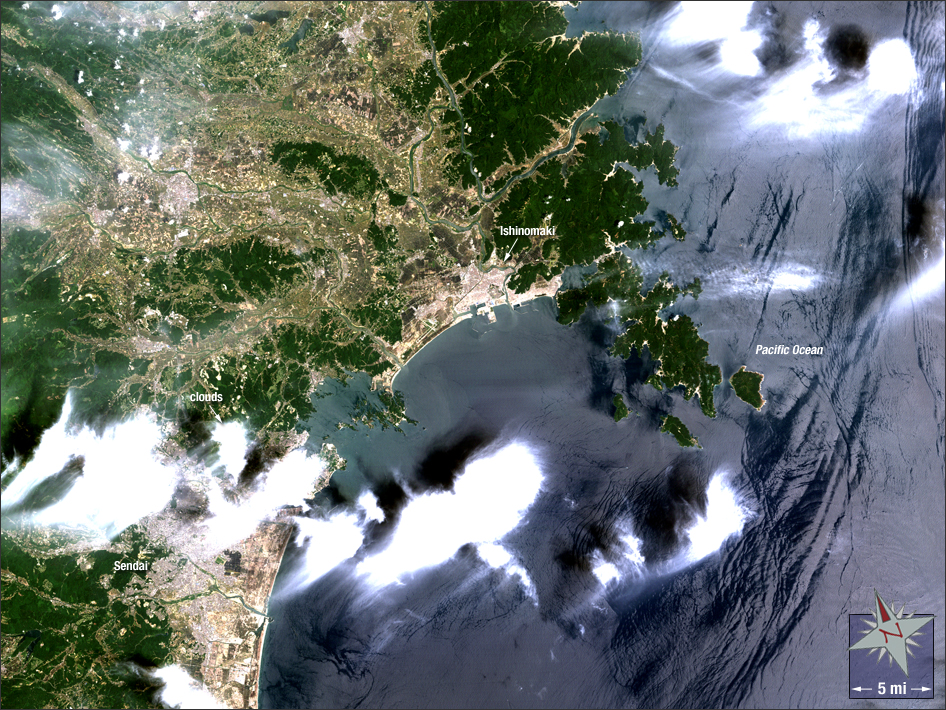
acquired June 8, 2011
Great East Japan Earthquake
Downloads
- 2011_Japan_Tsunami.tif (TIFF)
Metadata
- Sensor(s):
- Landsat 5 - TM
- Data Date: June 8, 2011
- Visualization Date: May 22, 2012
On March 11, 2011, a 9.1 magnitude earthquake triggered a massive tsunami that struck eastern Japan killing more than 15,000 people. In this Landsat 5 image the port city of Ishinomaki is shown. The tsunami was 16 feet high when it struck the port destroying nearly everything in its path. In this image vegetation is green, water is blue, developed areas are light brown, and clouds are white.
NASA GSFC Landsat/LDCM EPO Team