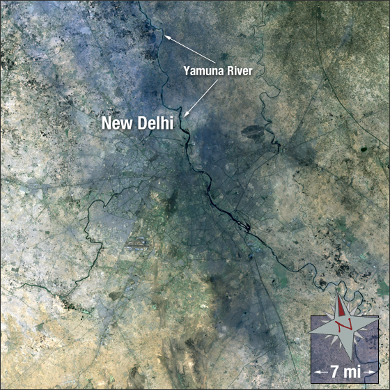
acquired May 10, 2003
New Delhi
Downloads
- New_Delhi.tif (11913x11913, TIFF)
Metadata
- Sensor(s):
- Landsat 7 - ETM+
- Data Date: May 10, 2003
- Visualization Date: November 17, 2010
New Delhi was planned by British architects Edwin Lutyens and Herbert Baker. The foundation of the city was laid on December 15, 1911. New Delhi is one of the nine districts of Delhi and the capital city of India. New Delhi has a population of over 295,000 and is one of the fastest growing cities in the world.
In this image New Delhi is grey, vegetation is green, water is black, and bare ground is brown.
This Landsat 7 image was acquired May 10, 2003. The image was created using ETM+ bands 3,2,1 and the panchromatic band. New Delhi falls on Landsat WRS-2 Path 146 Row 40.
NASA GSFC Landsat/LDCM EPO Team