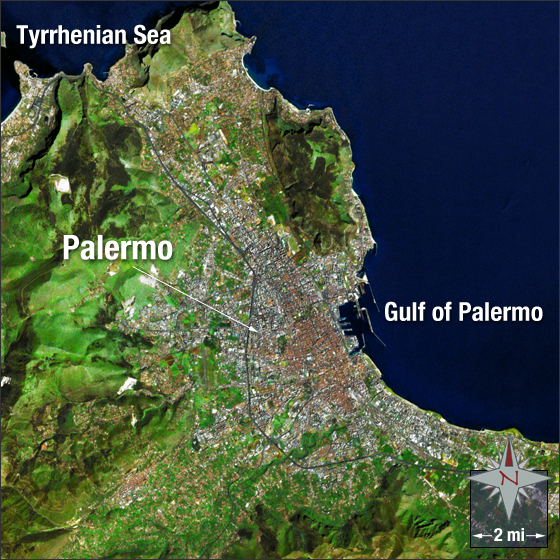
acquired April 28, 2003
Palermo, Sicily
Downloads
- Palermo.tif (1449x1449, TIFF)
Metadata
- Sensor(s):
- Landsat 7 - ETM+
- Data Date: April 28, 2003
- Visualization Date: January 7, 2010
Palermo was founded by the Phoenicians in the eighth century B.C. and named by the Ancient Greeks as Panormus meaning all-port. It is currently the capital of Sicily, an autonomous region in Southern Italy. The city has a population of approximately 670 thousand people. It is located on the northwest of the island of Sicily next to the Gulf of Palermo. In this image, Palermo appears a silvery brown and is surrounded by green hills and mountains. The Gulf of Palermo and the Tyrrhenian Sea appear in blue.
This Landsat 7 image was acquired on April 28, 2003. It is a natural-color image using ETM+ bands 3, 2, and 1. Palermo falls on Landsat WRS-2 Path 190 Row 33.
NASA GSFC Landsat/LDCM EPO Team