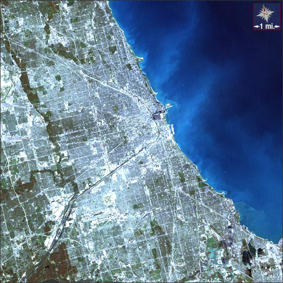
acquired October 19, 2000
Chicago, Illinois
Downloads
- Chicago.tif (3254x3254, TIFF)
Metadata
- Sensor(s):
- Landsat 7 - ETM+
- Data Date: October 19, 2000
- Visualization Date: December 1, 2009
Nestled on the southwestern flank of Lake Michigan is the city of Chicago. Discovered in 1673 by a Jesuit missionary and a Canadian explorer and cartographer, Chicago is today the third most populous city in the United States and home to the tallest skyscraper in North America.
This Landsat 7 image of Chicago was acquired on October 19, 2000. This is a natural-color image using ETM+ bands 3, 2, and 1. Chicago falls on Landsat WRS-2 Path 22 Row 31.
NASA GSFC Landsat/LDCM EPO Team