acquired January 17, 1994
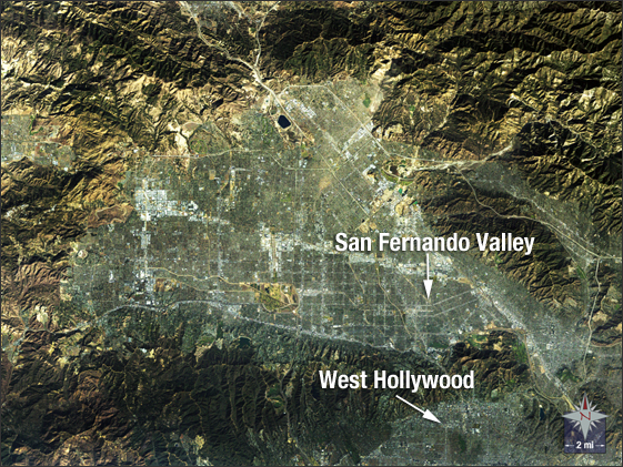
San Fernando Valley, CA
Downloads
- Valley.tif (1663x1663, TIFF)
Metadata
- Sensor(s):
- Landsat 5 - TM
- Data Date: January 17, 1994
- Visualization Date: October 16, 2009
This natural-color image shows the San Fernando Valley of northern Los Angeles on Jan. 17, 1994, hours after the 6.7 Northridge earthquake shook the region and caused 57 deaths and extensive structural damage.
NASA GSFC Landsat/LDCM EPO Team