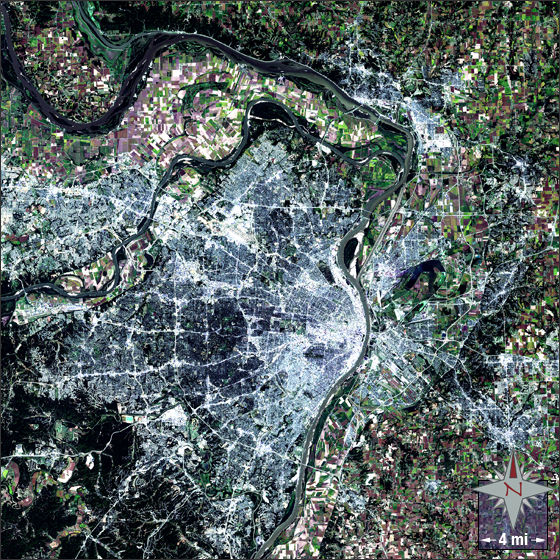
acquired September 21, 2002
St. Louis, Missouri
Downloads
- St_Louis.tif (2976x2976, TIFF)
Metadata
- Sensor(s):
- Landsat 7 - ETM+
- Data Date: September 21, 2002
- Visualization Date: September 30, 2009
Built on bluffs and terraces St. Louis is nested between two of the world’s longest rivers, the Mississippi and the Missouri. It encompasses a total area of 66.2 square miles, with 61.9 miles of it being land and 4.2 square miles being water.
St. Louis was acquired from France as part of the Louisiana Purchase under President Thomas Jefferson in 1803. On December 9, 1822 St. Louis was incorporated as a city.
This Landsat 7 image of St. Louis was taken on September 21, 2002. This is a natural color image using bands 3, 2, and 1. St. Louis falls on Landsat WRS-2 Path 24 Row 33.
NASA GSFC Landsat/LDCM EPO Team