acquired November 11, 2000
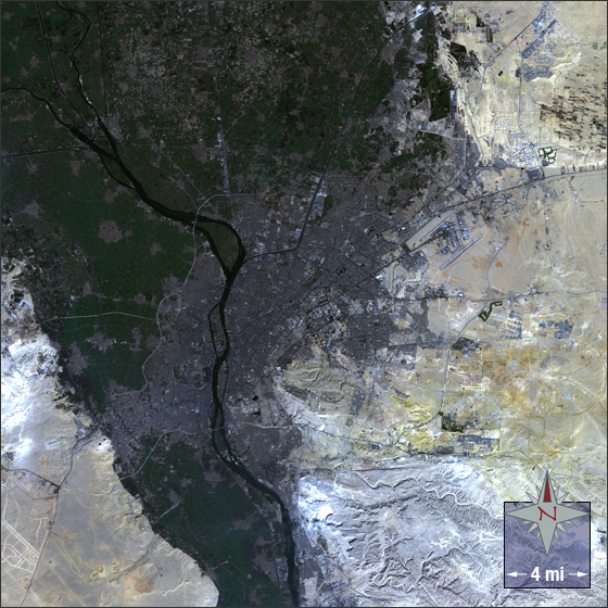
Cairo, Egypt
Downloads
- Cairo_321.tif (2303x2303, TIFF)
Metadata
- Sensor(s):
- Landsat 7 - ETM+
- Data Date: November 11, 2000
- Visualization Date: August 5, 2009
Al-Qahirah, more widely known as Cairo, is the largest city in Egypt, home to over 17.8 million people. Cairo is located in northern Egypt on the banks and islands of the Nile River. It boasts the only surviving wonder of the ancient world, the pyramids of Giza and the Sphinx, which are 11 miles to the southwest of central Cairo.
This Landsat 7 image of Cairo was acquired on November 11, 2000. This is a natural-color image using ETM+ bands 3, 2, and 1.Cairo falls on Landsat WRS-2 Path 176 Row 39.
NASA GSFC Landsat/LDCM EPO Team