The Landsat satellite record stretches from 1972 to the present. This gallery includes all Landsat images published on the Earth Observatory, Visible Earth, and Landsat Science web sites from all seven Landsat satellites (Landsats 1-8, Landsat 6 failed to achieve orbit). All of the images are in the public domain and may be used with attribution. The correct attribution for imagery obtained from this site is:
“Landsat imagery courtesy of NASA Goddard Space Flight Center and U.S. Geological Survey” or “USGS/NASA Landsat”
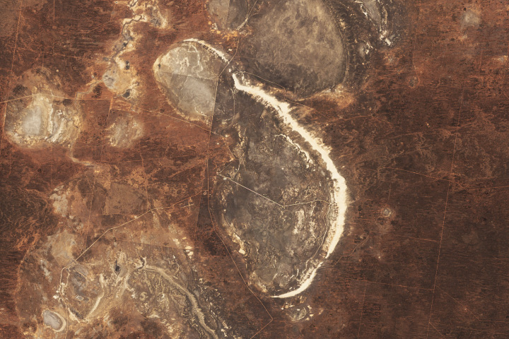
Lake Mungo’s Geological and Archaeological Treasures Read more
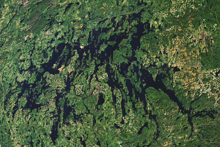
The Many Arms of Réservoir Gouin Read more
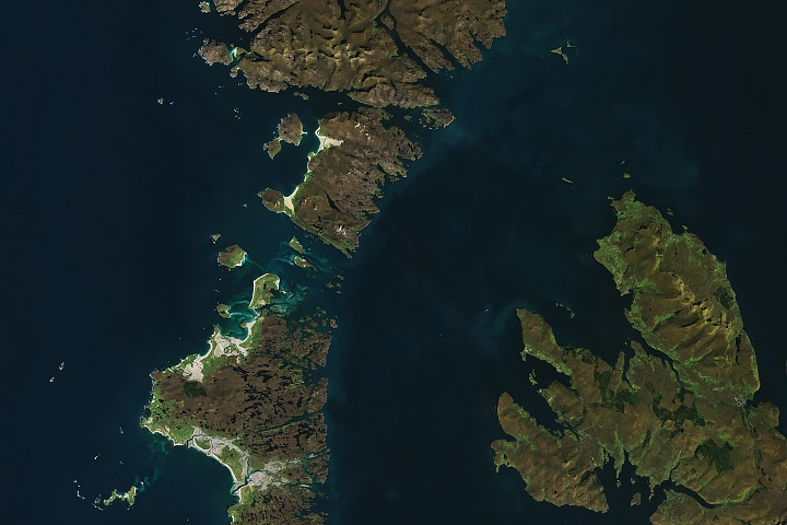
Scotland’s Outer Hebrides Read more
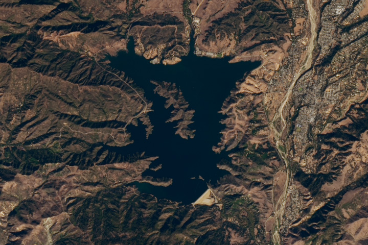
Rapid Rebound for Lake Casitas Read more
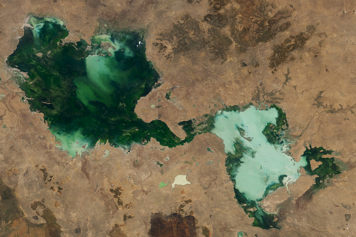
Mangroves Are Losing Their Resilience Read more
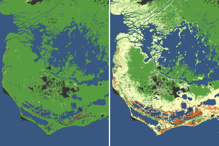
Saturated Northern Australia Read more
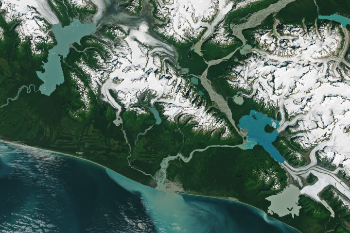
Alaska’s Fast-Growing Glacial Lakes Read more
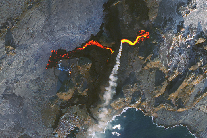
Lava Nears Iceland’s Blue Lagoon Read more
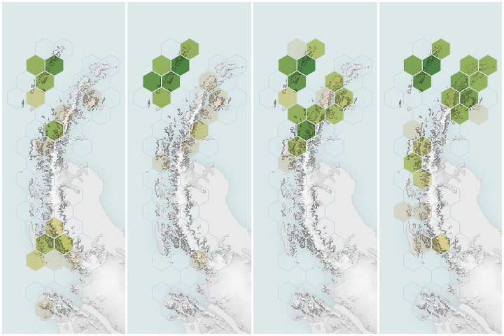
Satellites Reveal a Greener Antarctic Peninsula Read more