The Landsat satellite record stretches from 1972 to the present. This gallery includes all Landsat images published on the Earth Observatory, Visible Earth, and Landsat Science web sites from all seven Landsat satellites (Landsats 1-8, Landsat 6 failed to achieve orbit). All of the images are in the public domain and may be used with attribution. The correct attribution for imagery obtained from this site is:
“Landsat imagery courtesy of NASA Goddard Space Flight Center and U.S. Geological Survey” or “USGS/NASA Landsat”
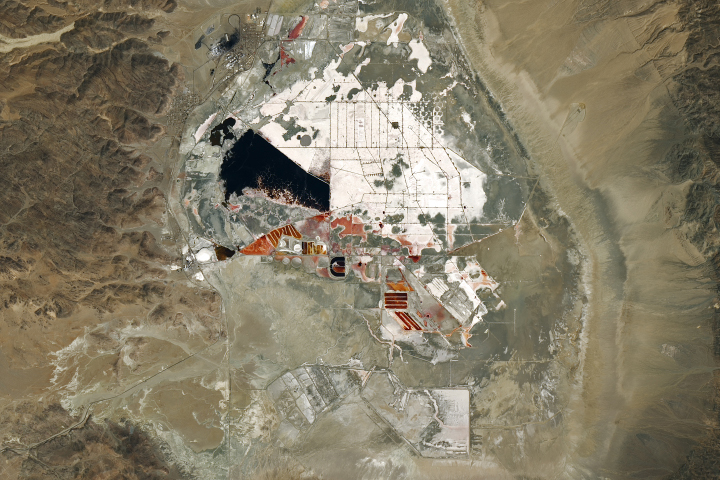
The Allure of Searles Lake Salts Read more

Sado Island’s Riches Read more

Lava Flows of the Sáttítla Highlands Read more
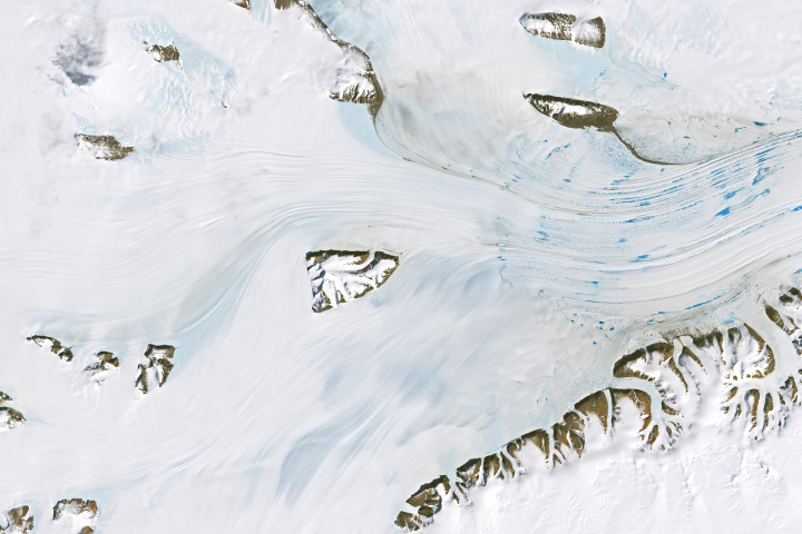
Meltwater Ponds on the Amery Ice Shelf Read more
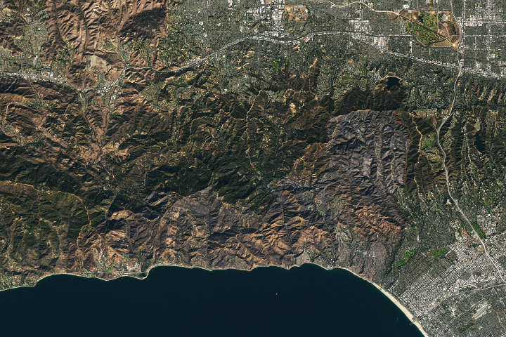
The Palisades Fire’s Footprint Read more
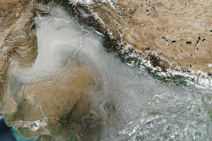
Is Fire Activity Declining in Northwestern India? Read more
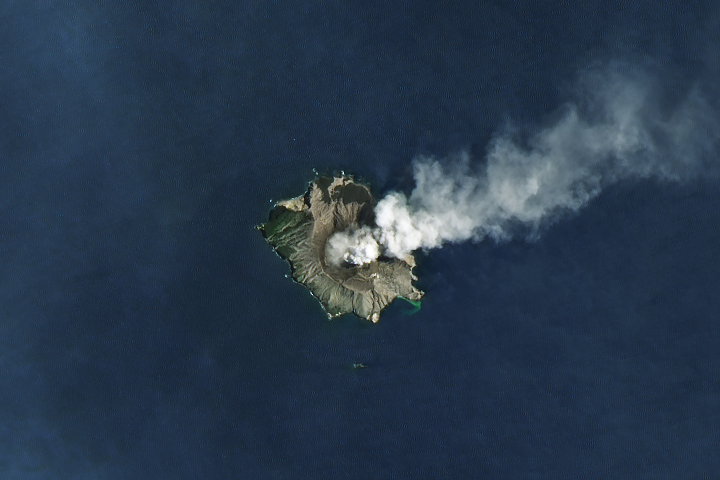
Another Puff from Whakaari Read more
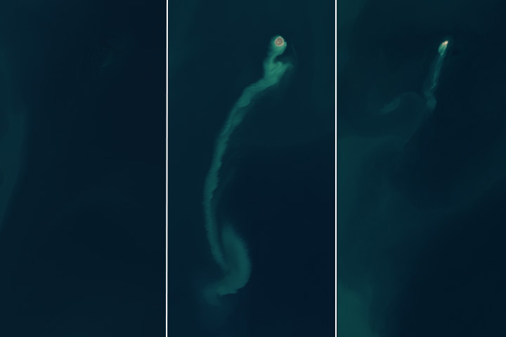
Satellites Spot a “Ghost” Island Read more

Cyclone-Damaged Mayotte Read more