The Landsat satellite record stretches from 1972 to the present. This gallery includes all Landsat images published on the Earth Observatory, Visible Earth, and Landsat Science web sites from all seven Landsat satellites (Landsats 1-8, Landsat 6 failed to achieve orbit). All of the images are in the public domain and may be used with attribution. The correct attribution for imagery obtained from this site is:
“Landsat imagery courtesy of NASA Goddard Space Flight Center and U.S. Geological Survey” or “USGS/NASA Landsat”
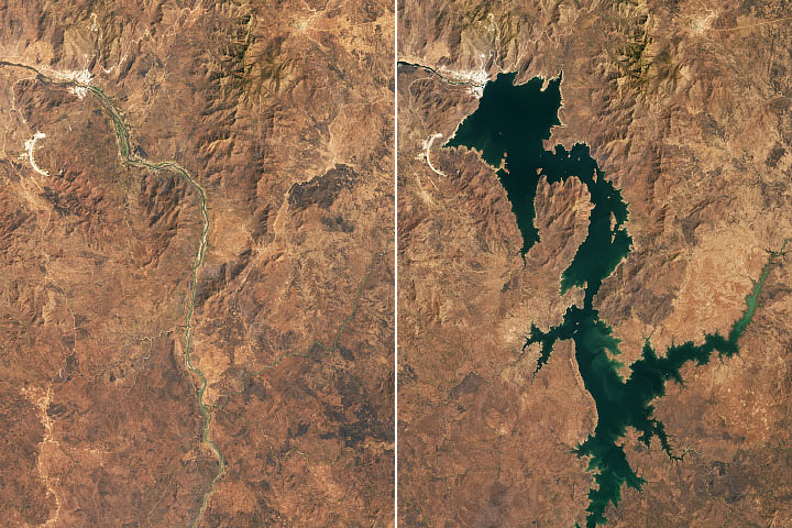
Keeping a Satellite Eye on GERD Read more
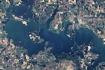
Devils Lake, North Dakota Read more
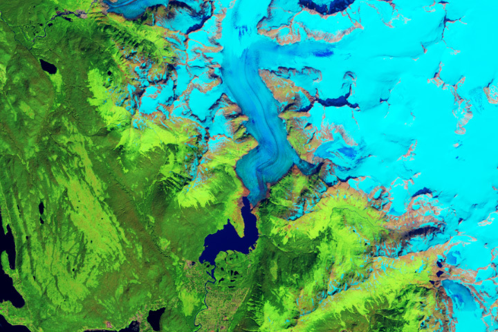
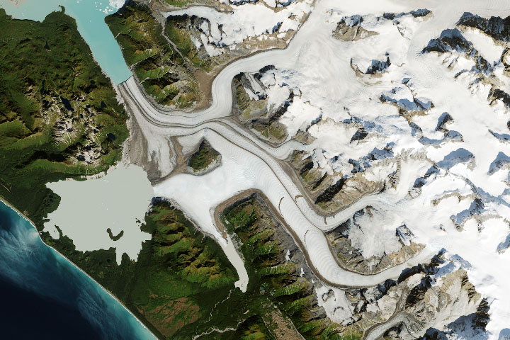
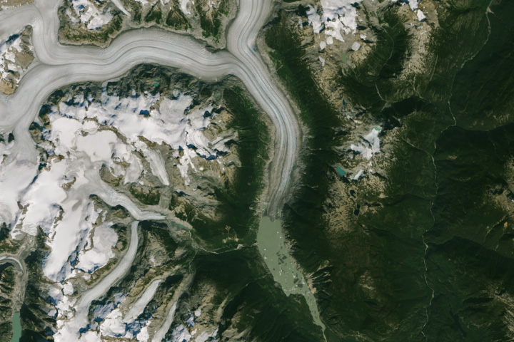
Alaska’s Mendenhall Glacier Read more
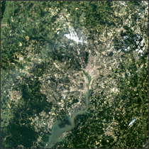
Washington D.C. 1984-2011 Read more
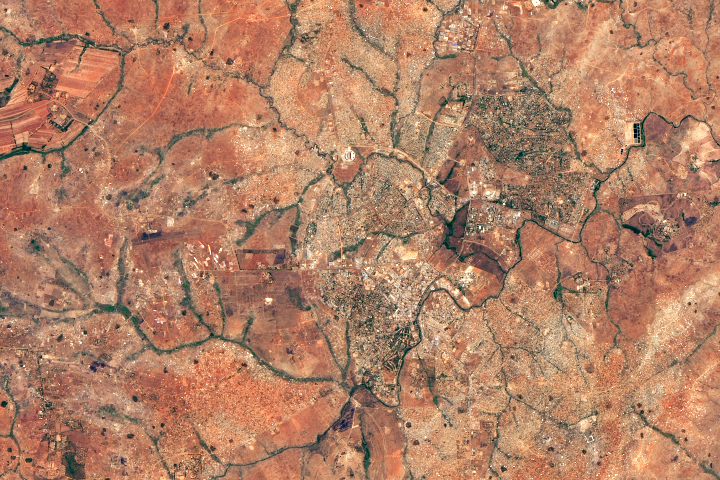
Lilongwe and Landsat Grew Up Together Read more
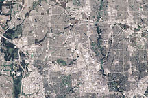
Dallas Read more
Grand Plateau Glacier Read more
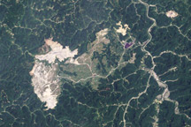
Growth of Mountaintop Mine, West Virginia, 1984-2009 Read more
Retreat at Klinaklini Read more