The Landsat satellite record stretches from 1972 to the present. This gallery includes all Landsat images published on the Earth Observatory, Visible Earth, and Landsat Science web sites from all seven Landsat satellites (Landsats 1-8, Landsat 6 failed to achieve orbit). All of the images are in the public domain and may be used with attribution. The correct attribution for imagery obtained from this site is:
“Landsat imagery courtesy of NASA Goddard Space Flight Center and U.S. Geological Survey” or “USGS/NASA Landsat”

Digging Into the History of Stone Town Read more
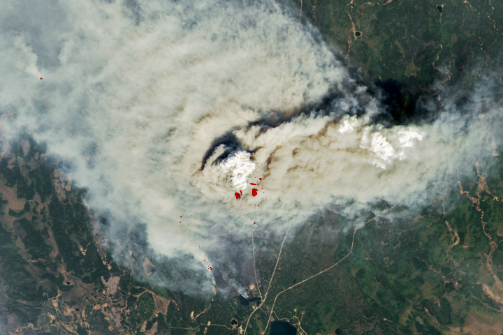
A Smoky Start to Saskatchewan’s Fire Season Read more

The Arches That Salt Built Read more

On-Again, Off-Again at Kilauea Read more
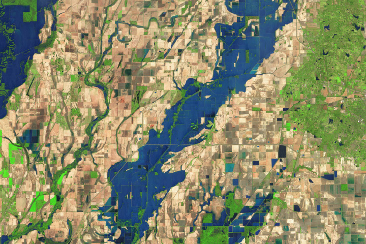
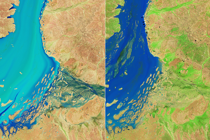
Spring Flooding in Kazakhstan Read more
Arkansas Farmers Face Lingering Floodwaters Read more
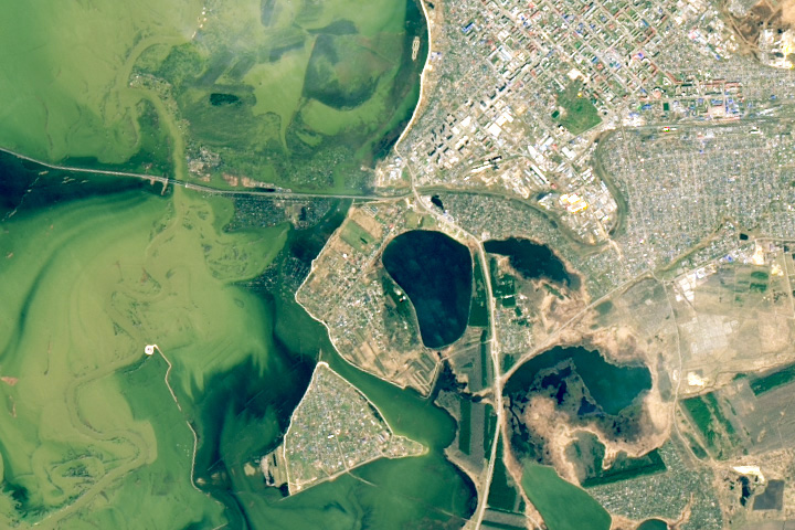
Spawning Spectacle Read more
Floods Give Way to a Burst of Desert Life Read more

New Jersey Pine Barrens Ablaze Read more