The Landsat satellite record stretches from 1972 to the present. This gallery includes all Landsat images published on the Earth Observatory, Visible Earth, and Landsat Science web sites from all seven Landsat satellites (Landsats 1-8, Landsat 6 failed to achieve orbit). All of the images are in the public domain and may be used with attribution. The correct attribution for imagery obtained from this site is:
“Landsat imagery courtesy of NASA Goddard Space Flight Center and U.S. Geological Survey” or “USGS/NASA Landsat”

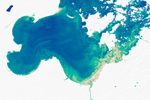
A Satellite View of River Width Read more
Minnesota: Land of the Many-Colored Lakes Read more

California Reservoirs Rise from Drought to Deluge Read more
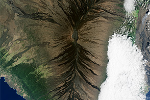
Living Large in Hawaii Read more
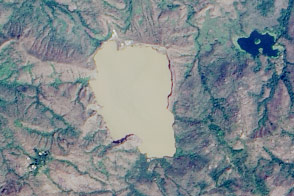
Lake Nyos, Cameroon Read more
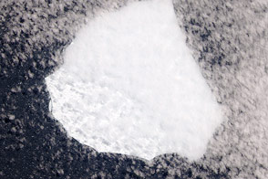
An Iceberg Without a Name Read more
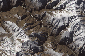
Landslide in Northern India Read more
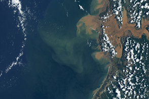
Flooding in Madagascar Read more
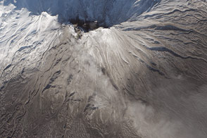
Ashfall on Zhupanovsky Volcano Read more